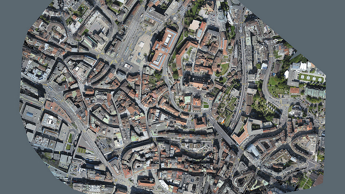
Orthomosaic image of Zurich taken by a Wingtra drone using a downward-facing Sony RX camera. It captures data on a large scale, often reducing survey data capture by as much as 80%
As drones are becoming more widely accepted, they offer a vital tool for surveying businesses. The usual benefits of mass data collection at speed are well known. But the rich photogrammetric data sets offer a different perspective for surveyors' clients.
Working in sales has given me insight into the way professionals are using drones. I believe we are only at the start of the mass adoption of the technology in surveying.
However, photogrammetric workflow and principles only tend to be taught to surveying and mapping students. This means surveyors in other disciplines do not always yet understand how to collect good-quality data with drones. Neither do they learn about the fundamental principles of photogrammetry.
With drones becoming more accessible and relatively cheap compared to other surveying equipment, this knowledge gap has increased.
As a surveyor, I can help clients understand platform and sensor differences and capabilities, flight planning, area to be surveyed and geospatial data outputs.
Some surveying companies are unaware that the imagery collected can be used to generate point clouds, meshes and other outputs.
Using the right tools
Drones are just another tool. But they are a valuable complement to other forms of data collection.

Surveyors are sometimes frustrated when drone operators talk about collecting survey data, or refer to themselves as surveyors. But the same happened when laser scanners were introduced. It's only amplified with drones because of their affordability.
Surveyors' clients are primarily concerned with price, but the geospatial profession needs to educate them about what drones can offer. We should create a cohort of intelligent clients who understand the capabilities – and commensurate costs – of good, accurate information. They ought to understand what a professional firm needs if it is to supply what is expected.
Changing role of surveyors
Our role as surveyors is changing. After I graduated in surveying and mapping science, I collected data in the field, processed it, then created and issued drawings. That was the end of the job. But geospatial data has never been so important as it is now.
We are not just collecting data for our own outputs and storing it on servers for a few years. It is now being used in multiple departments and benefiting different people from shareholders to project managers, from health and safety inspectors to groundworkers. This data is chargeable, and clients are more than happy to pay the surveyors who host it.
One of our roles is to get this data into people's hands in a straightforward way. How can we combine data sets from different sensors to provide a complete package to end users, without them needing software or powerful computers? This is getting easier, with cloud base viewers. Now we can send a link to a customer who can see all the data without having specific software.
Drones are not the right tool for every job. But when they can be used, they should be. And I can help survey businesses that want to integrate them into their established workflows. The videos below show drones in action and some of the outputs that can be achieved.
'Geospatial data has never been so important as it is now'
Related competencies include: GIS (geographical information systems), Remote sensing and photogrammetry, Surveying and mapping
Related articles include: Geospatial: the next generation, Geospatial tech supports cave monitoring study, How a 360-degree camera changed my views
Land and resources global group director James Kavanagh says: 'Recent years have seen an enormous increase in the availability and use of geospatial imagery. From the advent of accessible earth observation and satellite systems such as Copernicus, the rapid development of LiDAR, to the evolution of UAV systems and the revolution of hybrid sensors.
'Aerial survey capabilities have been further enhanced by enhanced digital processing, improved navigation and control systems and increasingly accurate GNSS use in ground/airborne control.
'This is an exciting and fast moving geospatial surveying sector and is increasingly used in applications such as environmental and land management, topographic mapping, site surveys, construction and infrastructure, coastal management, building condition reports and much more. This new edition is an important part of the professional experts and surveyors' technical armoury.'
RICS has recently published the sixth edition of its Earth observation and aerial surveys global guidance note.
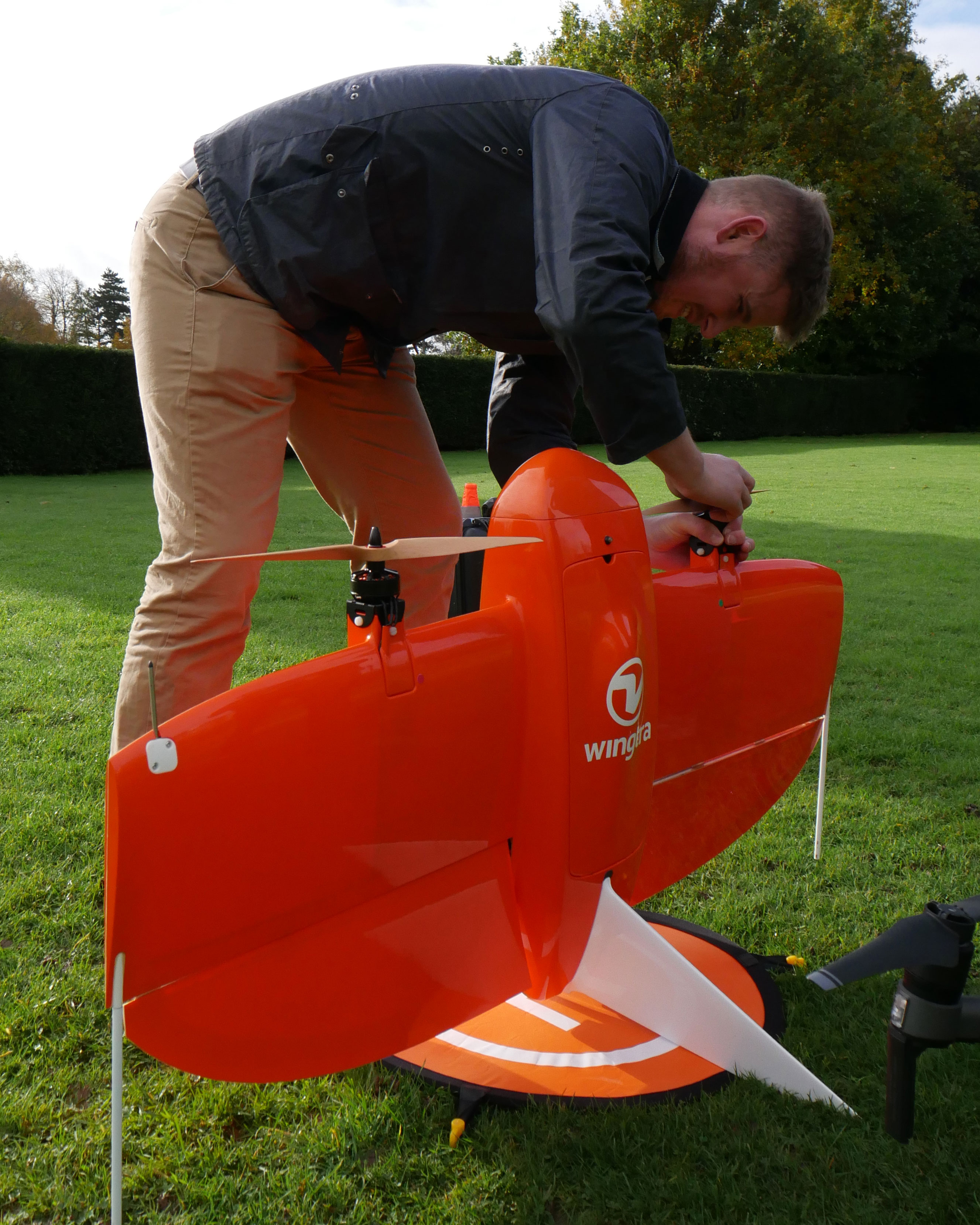
Wingtra One is a vertical take-off and landing drone, which can cover large areas
Drone imagery enables survey of property exterior at Scrivelsby Court. This detail took an hour to collect using an entry-level drone
Surveying a quarry using a DJI Zenmuse P1 photogrammetric camera mounted on a Matrice 300 real time kinematic (RTK) drone

