One day, drone taxis and deliveries will be commonplace, and unmanned aerial vehicles will transform our lives. However, huge regulatory change is required for drones to take to our skies routinely, safely and at scale.
Regulators in the high-stakes business of aviation require evidence of safety and reliability at every stage, which means incremental rather than radical change is on the agenda. It is therefore crucial to develop technology in step with regulation to make this vision a reality.
Command and control software proves safety in industrial contexts
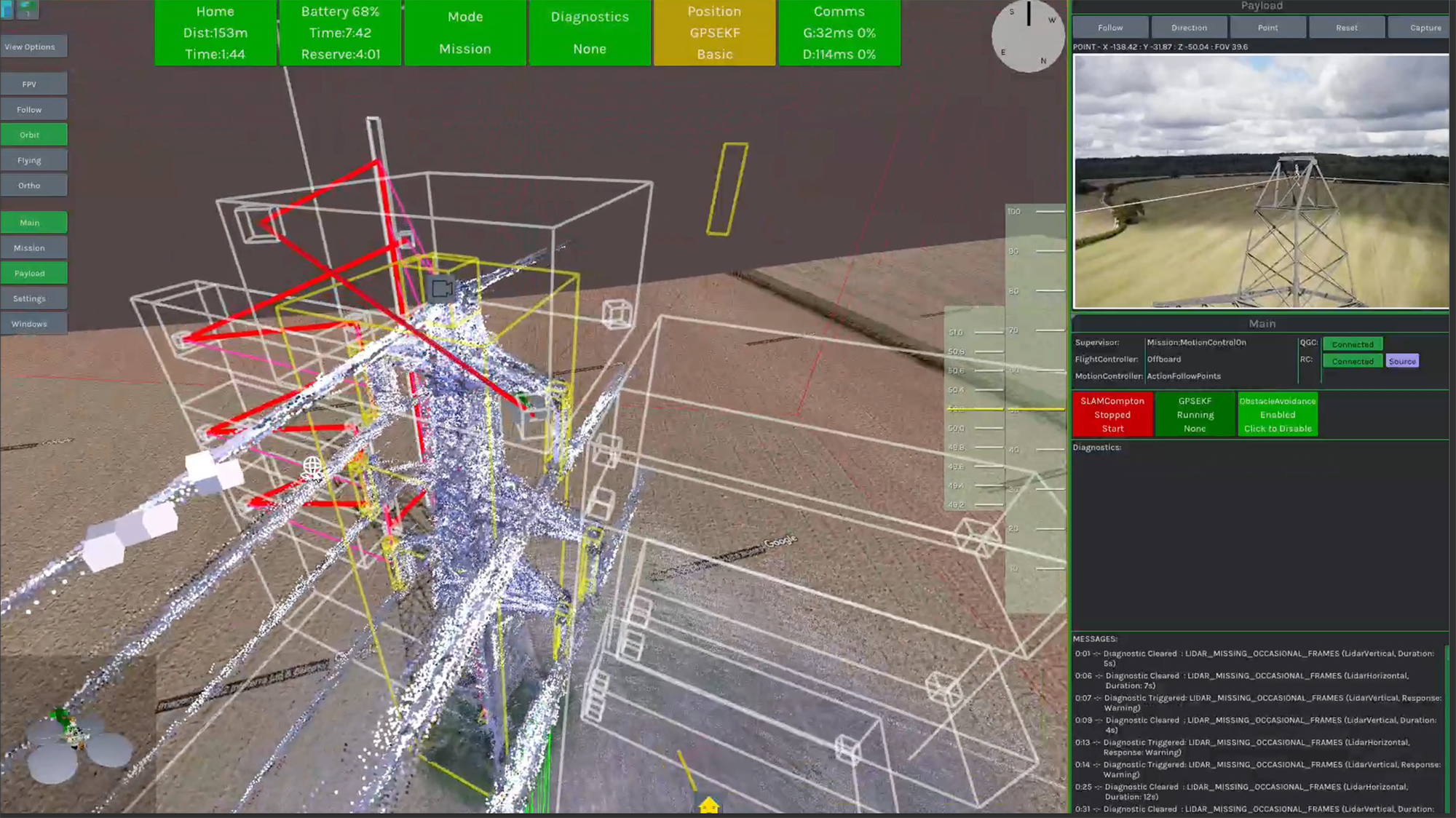
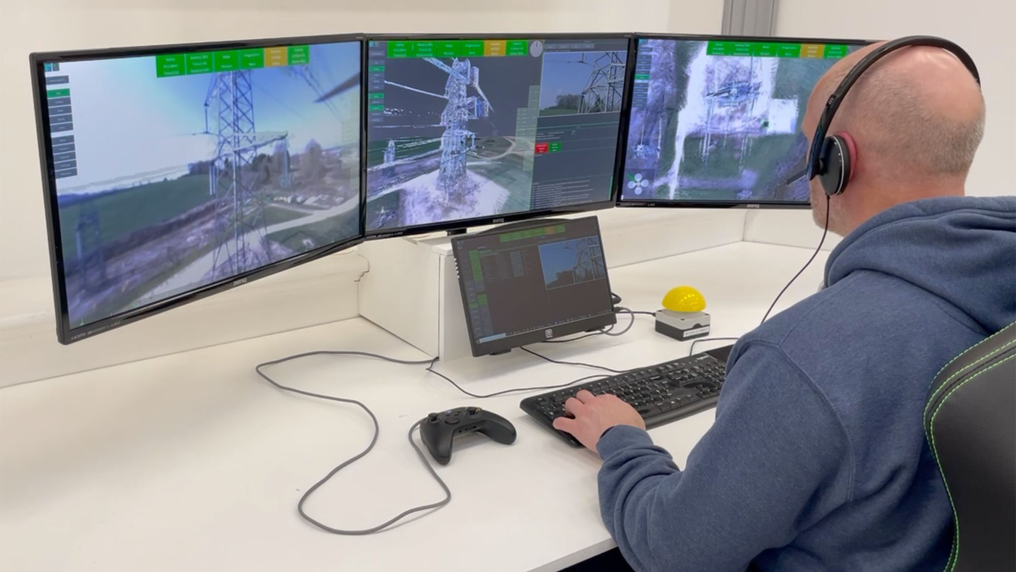
With this in mind, technology firm sees.ai is focused on proving beyond visual line of sight (BVLOS) drone command and control software in high-value, lower-risk industrial contexts before venturing into more public airspace. Its core technology is a combination of proprietary software and bespoke hardware on third-party platforms, typically integrated by others, to enable seamless, centralised control of drone fleets from a remote location.
This solution not only increases the operational efficiency of drone missions but also expands the range of applications and services that they can offer. We are targeting uses in the energy, infrastructure and oil and gas industries initially, to demonstrate both the demand for the technology and its ability to meet regulatory requirements as they evolve.
The company has already gained the most advanced approval from the Civil Aviation Authority (CAA) in April 2021 to fly drones BVLOS routinely in unsegregated airspace, on sites including the Mindenhurst neighbourhood being developed in Deepcut, Surrey by Skanska, and the National Grid's test centre at Eakring, Nottinghamshire.
This permission has led to several projects with commercial partners (see below) which are not only valuable to industry but simultaneously allow us to build the proof of safety required for the next stage of regulatory approval. The projects also help us contribute to achieving net-zero carbon.
BVLOS projects help improve safety
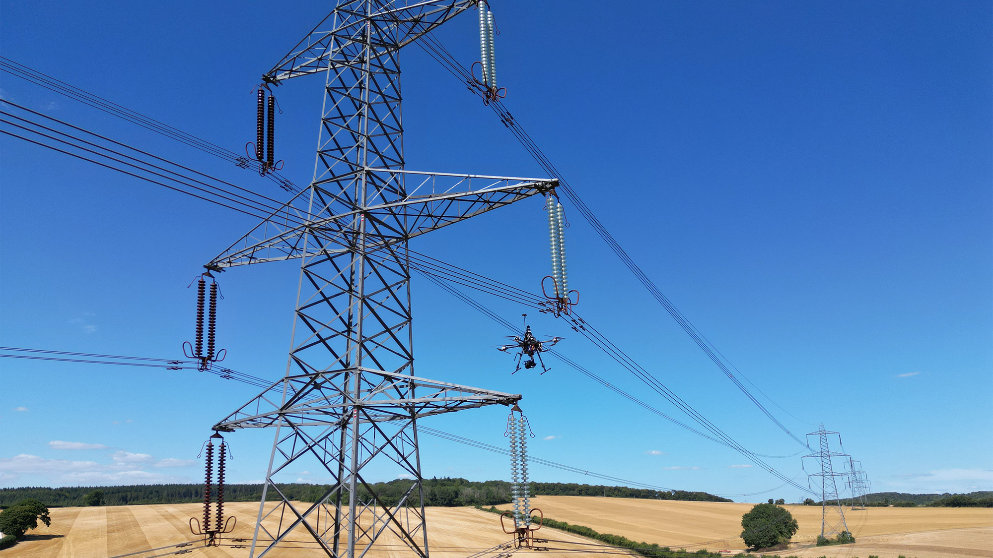
- National Grid: using our advanced BVLOS software, National Grid and its data and analysis partner KEEN AI is collecting high-quality imagery and information from above the grid to enable better asset management. This not only helps the organisation save time, money and lower its emissions by cutting down on helicopter inspections, but also improves safety by reducing the need for people to carry out on-site inspections.
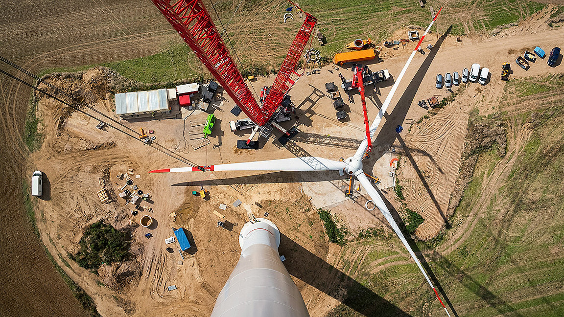
- Marshall FutureWorx: the venture building arm of Marshall Aerospace is using its Lilypad system in conjunction with our advanced technology to remotely control drones that can inspect offshore wind turbines, eliminating the need for human intervention in hard-to-reach locations. This approach will save time and money while improving safety by reducing the need for human inspection in potentially hazardous conditions.
- SeekOps: monitoring methane using connected and autonomous drone fleets, this job involves using our command and control software to pilot the craft remotely and collect high-quality data on emissions from oil and gas and other industrial sites. This approach enables more efficient and accurate data collection, helping SeekOps provide better insights and recommendations to its clients.
By focusing on uses in such industrial contexts, we can demonstrate demand for the technology, build proof of safety and trust with regulators, and create a safer airspace for all users.
sees.ai aims to secure permission from the CAA in the next 12 months to fly drones routinely BVLOS in non-segregated airspace for inspection of the electricity grid. If successful, we will be the first company in the UK and one of the few in the world to secure such permission.
RICS guidance on aerial surveying
More in-depth technical information on aerial surveying in Earth Observation and aerial surveys.

