In environments where it would be challenging to rig up conventional surveying equipment and there is no access to GPS or other signals, terrain can still be mapped. A recent experiment showed the value of new technology in scanning and understanding remote locations.
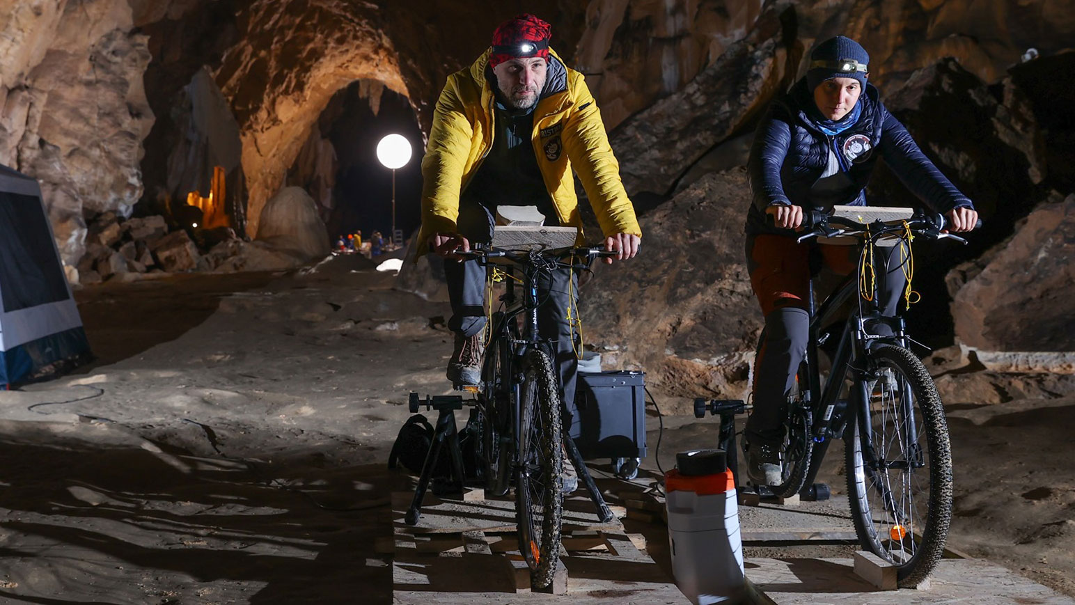
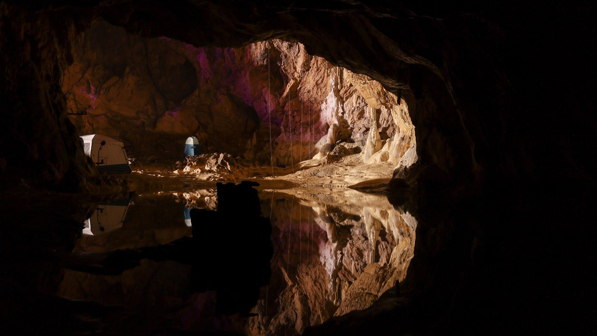
As part of this year's Deep Time study in the Lombrives cave in Ariège, southwestern France, 15 participants set up camp without clocks, sunlight or contact with the outside world for 40 days, to investigate human adaptability to isolation.
The experiment explored the links between time and the human brain and the limits of endurance in a challenging environment and geospatial mapping firm GeoSLAM documented the project.
In a 125-million-year-old cave system with low light levels, an ambient temperature of 10C and 100% humidity, the physical and psychological impacts of the environment on participants were monitored closely. Over the 40-day experiment, each of the 15 performed more than 50 scientific tests and protocols, from genetics to cognitive ability.
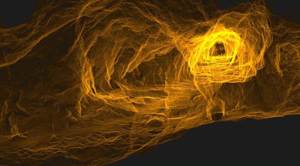
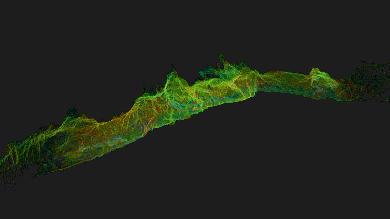
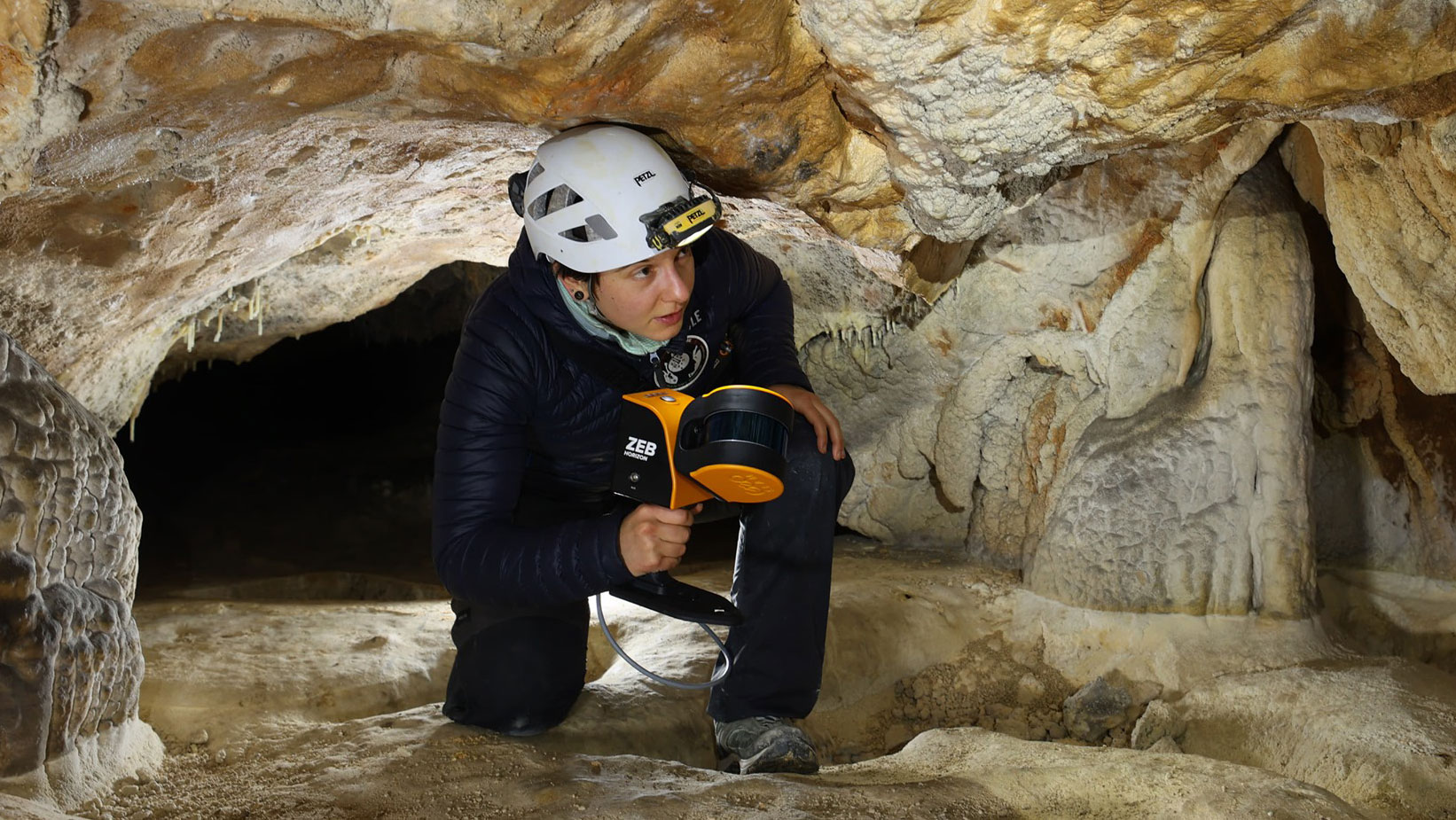
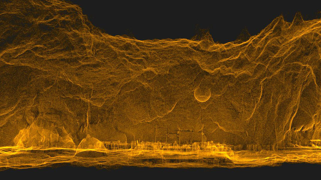
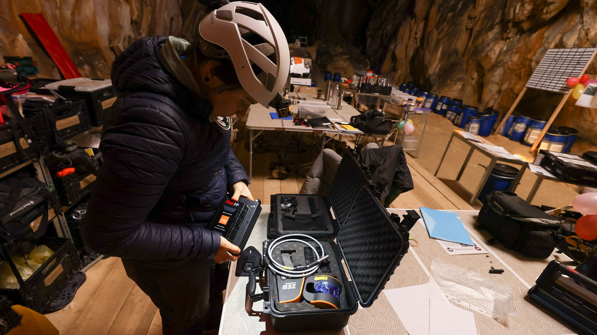
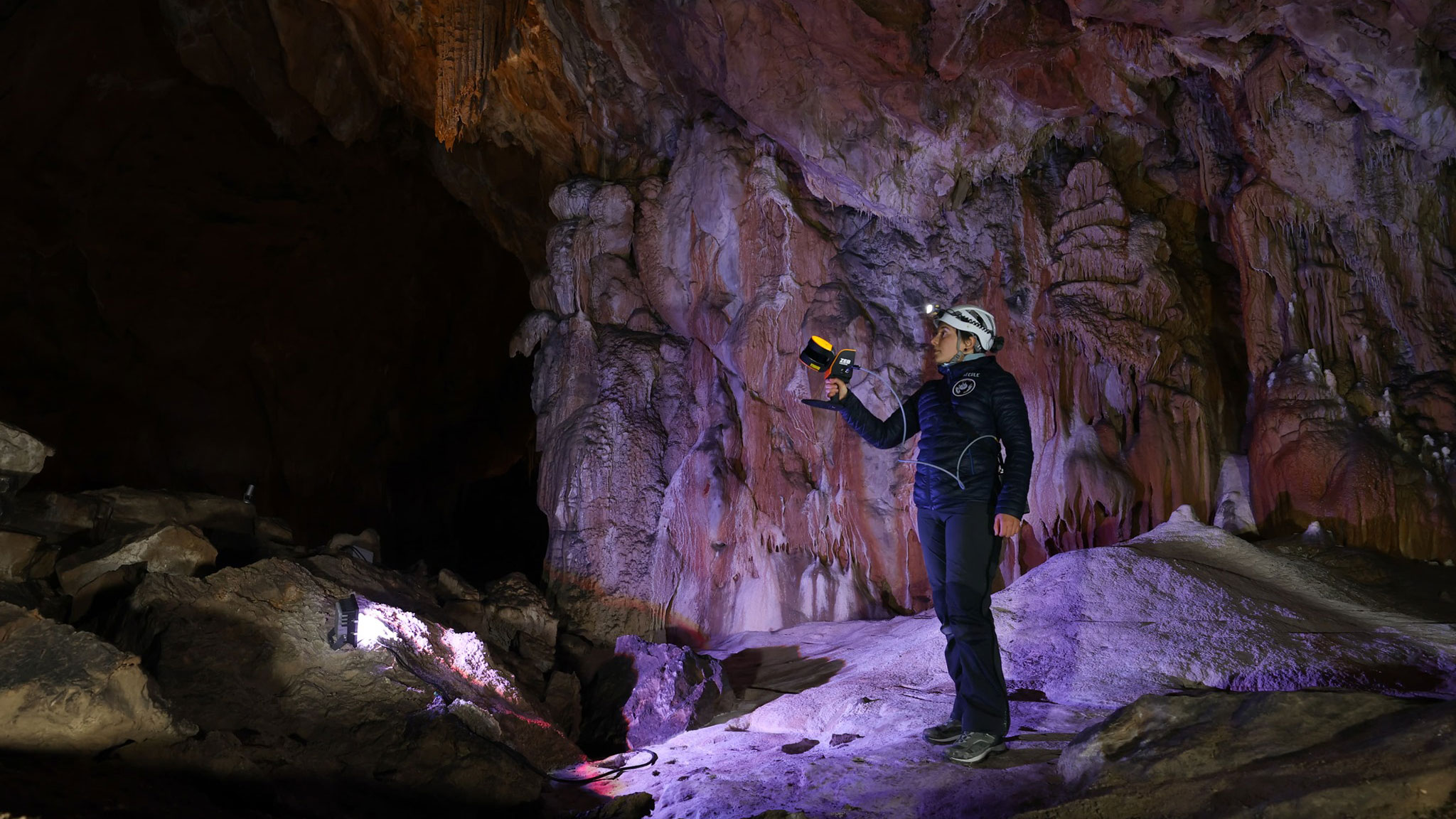
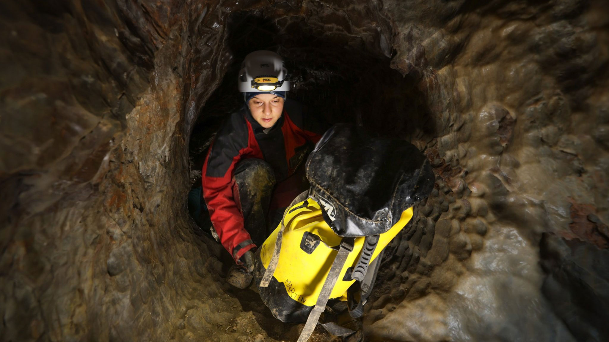
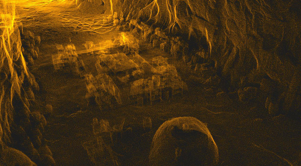
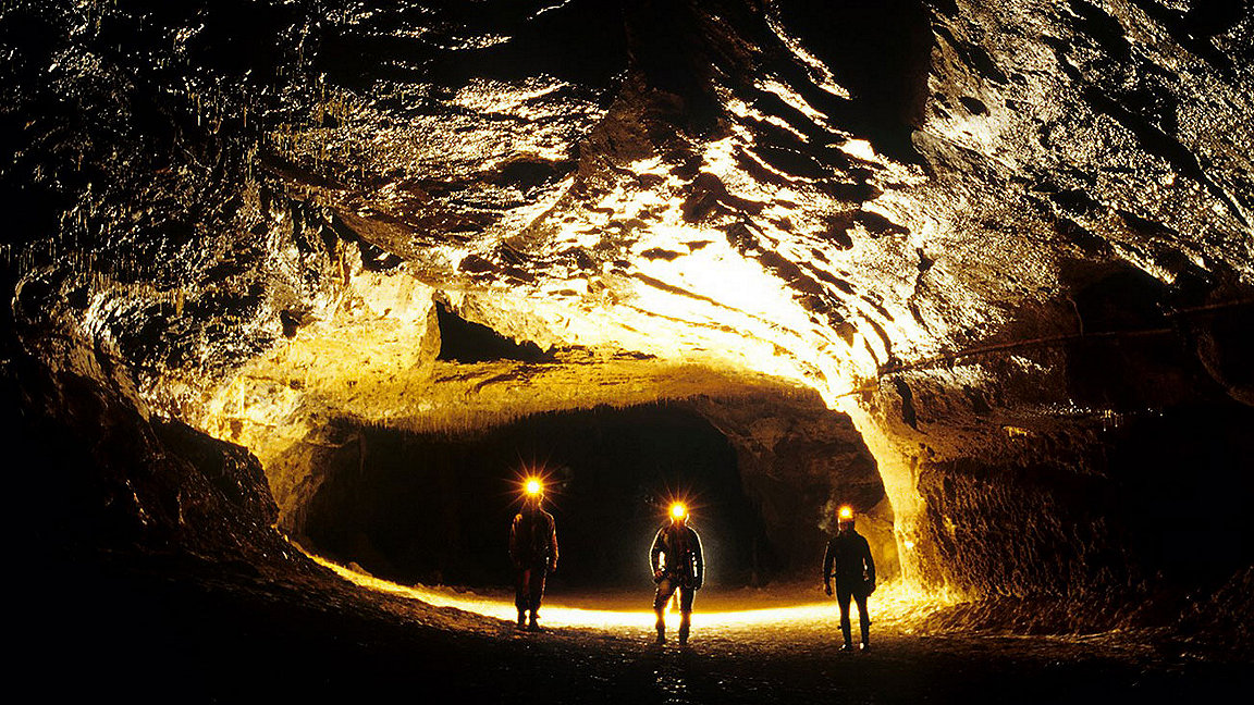
The first mapping task was to scan the narrow openings and hard-to-reach spaces, followed by an in-depth scan of the location. A series of images from the project shows the team using the latest simultaneous localisation and mapping (SLAM) technology.
Overcoming obstacles
The team carried out a digital scan of the 3km Lombrives cave, a system of narrow passageways and expansive chambers up to 70m high. Here, traditional tripod-based systems would have been a labour-intensive and time-consuming method of data collection.
Furthermore, the uneven and challenging terrain would have made it difficult to set up such devices. Tripod-based systems not only require professional surveyors, they also rely heavily on GPS to collect accurate data, and this would not be possible from inside the depths of the cave.
The lightweight, SLAM-powered ZEB Horizon augments surveyors' skills by removing the need for GPS. SLAM technology doesn't require control points or satellite positioning for calculating distance and scale, therefore scans can be carried out in enclosed spaces, including deep underground. Its walk-and-scan method of data collection and 100m range capabilities meant the team had the flexibility to crouch, crawl and scan the depths and narrow channels in the cave, including the 90m-deep wells. Collecting 300,000 points per second, with an accuracy of up to 6mm, the ZEB Horizon was able to create a highly accurate digital replica of the cave.
Mapping one of Europe's largest caves was completed by processing a series of 3D scans containing more than 39 million points on GeoSLAM's processing software, GeoSLAM Hub.
Interactive sample data from the Lombrives caves is available online. We recommend opening the link in Chrome for full access.
