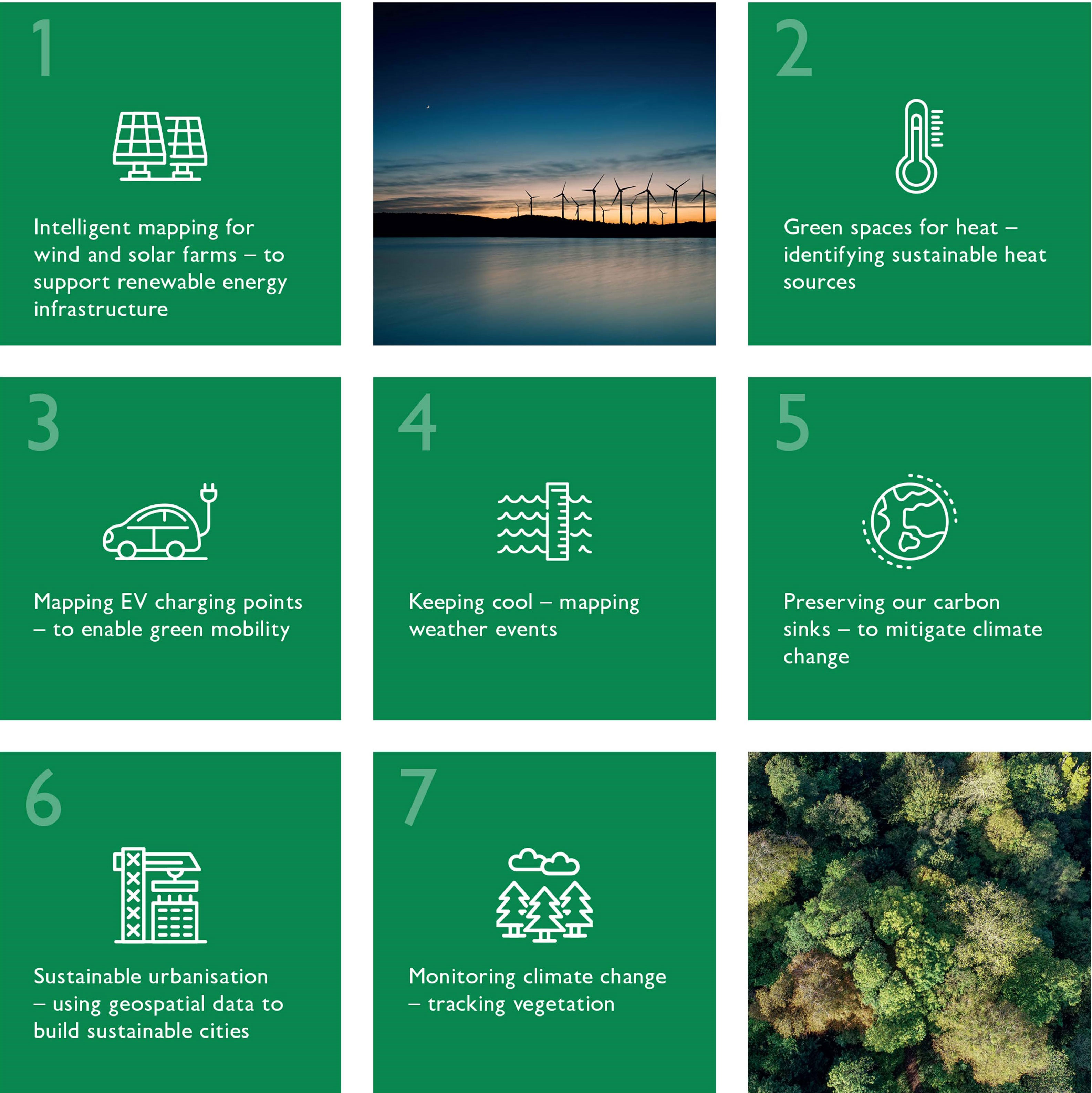
A new Ordnance Survey (OS) report outlines seven sustainability innovation trends in the geospatial sector. The report demonstrates how professionals can protect natural habitats, build sustainable infrastructure and improve quality of life by collaborating on environmental action.
Accurate geospatial data can provide innovative and effective ways to tackle the climate crisis. What we do individually will not solve climate change – we need to share data and best practices on a global scale.
OS recently held a workshop in Cambridge with leaders in the global geospatial community. This brought together global mapping agencies to discuss where data is already having a positive impact. They also outlined how they will support their governments in achieving the four key goals of COP26. A statement paper published after the workshop calls on governments to recognise the strategic value of location data in combatting climate change.
Monitoring climate change
You can only manage what you can measure. Yet 68% of the environmental indicators in the Sustainable Development Goals (SDGs) framework lack sufficient data to monitor global progress. So geospatial and earth observation data is needed to measure the way the environment is changing and assess the effectiveness of interventions.
Satellite earth observation data has long been an important source of information on environmental change. However, producing geospatial information from this for large areas has been time-consuming and costly.
Machine learning is now increasingly being integrated into this process and artificial intelligence is becoming more responsive. This makes the data easier and quicker to use, enabling governments to monitor climate change more effectively.
Biodiversity in the desert
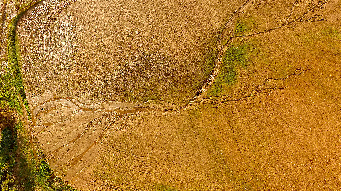
This can be seen in the work of OS and Deimos Space UK with the Mohammed Bin Rashid Space Centre (MBRSC). Together, they have automated production of geospatial information on the effects of climate change in Dubai.
The rapid growth of the UAE has had an impact on the natural environment, natural resources and native habitats. Given the cultural and economic value of palm trees and mangroves in Dubai, the organisations used state-of-the-art deep learning techniques to develop prototype software to identify these features in earth observation data. This supported development of a data model that could inform government departments' work.
Environment Agency – Abu Dhabi is committed to maintaining and promoting the biodiversity of the desert and marine ecosystem. OS helped the agency to develop a GIS roadmap, and provided a detailed, structured plan to collect, maintain and analyse environmental information.

Green spaces for heat
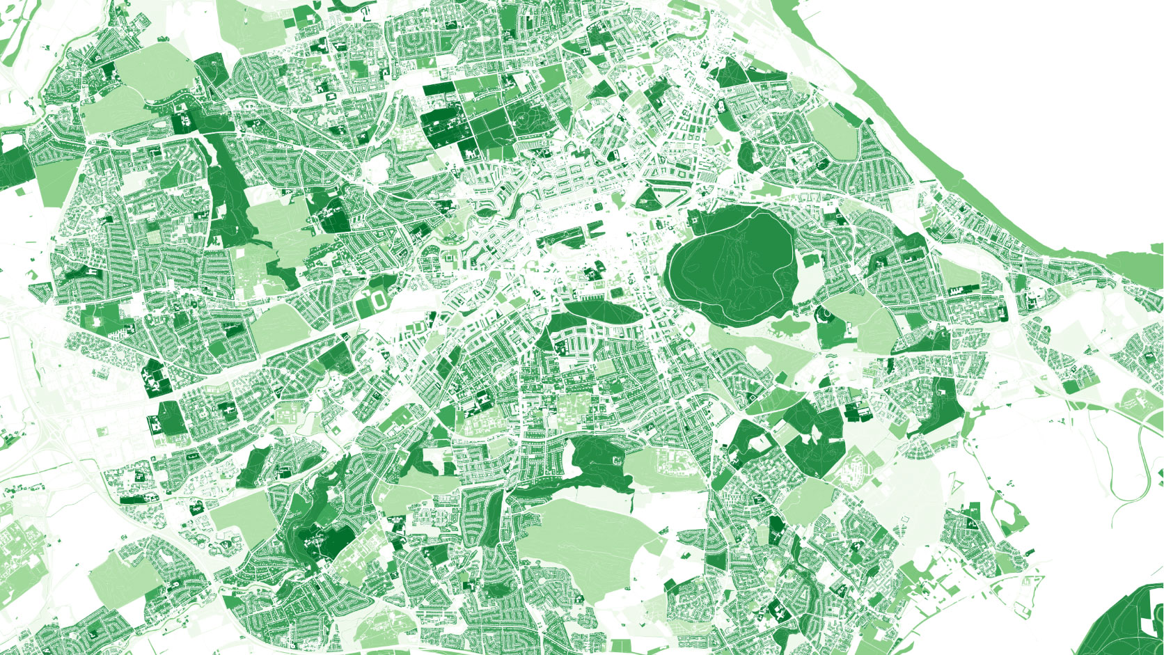
Green spaces not only improve quality of life for people who live in cities, by offering calm spaces and supporting biodiversity. But they can also provide clean energy. Geospatial data can help identify underground heat sources such spaces and map ideal locations for heat pumps.
For instance, OS green space data shows that 60% of Edinburgh and Aberdeen is made up of green space. Charity Greenspace Scotland has used this data to identify areas where low-carbon heat can be harvested using ground-source heat pumps for homes and businesses.
Preserving carbon sinks
Peatlands are a type of wetland found in almost every country, covering 3% of global land surface. They preserve biodiversity, provide safe drinking water, minimise flood risk and help mitigate climate change.
Critically, peatlands store more carbon than all other vegetation types in the world combined. Their preservation is therefore essential. While they occupy 12% of land area in the country, 86% of the UK's peatlands have been degraded by human activity. This vastly decreases their capacity to store carbon, affecting biodiversity and increasing greenhouse gas emissions when peat is burned for heat.
Because of its significance as a carbon sink, the UK Climate Change Committee wants to restore 100% of upland peat by 2045. The UN is likewise encouraging all countries to include peatland restoration in their climate change strategies.
With Assimila, the environmental consultancy company, Space4Climate, chaired by the UK Space Agency, Durham University and the University of Leicester, OS is using satellite and geospatial data to monitor, protect, and preserve peatlands. This will enable us to understand how well these vital carbon stores are functioning. By monitoring and encouraging effective peatland management, we allow them to build up over time, increasing capacity for carbon sequestration.
Planning renewable energy
Geospatial data is vital for planning wind and solar power installations, ensuring coastal erosion or climate change will not affect efficiency. Combining geospatial and energy usage data, we can pinpoint where best to connect renewable energy to the grid. We can also help local authorities identify properties that are suitable for solar panels.
Location data can also be used to mitigate future risks, such as coastal erosion. The Scottish government is committed to making the nation net zero by 2045, and reducing emissions 70% by 2030 compared to 1990 figures. However, by 2050 an estimated £1.2bn of Scotland's buildings, transport infrastructure, cultural and natural heritage may be at risk of coastal erosion due to sea level rise.
The Dynamic Coast project used OS data and additional surveys to inform coastal change planning and build resilience. Using spatial data from OS, infrastructure managers and the public can compare how the coast may change in high-emissions and low-emissions futures. Such innovations are vital to achieving net zero, adapt quickly to future challenges and better understand sea level rise.
Mapping weather events
Recent floods in Europe and the US along with heatwaves and wildfires in Canada and Siberia are clear signs that climate change is happening faster than predicted. Geospatial data is being used to monitor weather events, and can map the heat profile of a city.
The Heat Hazard Postcode provides a map of at-risk areas to help manage the effects of extreme weather. Using OS data, satellite imagery and algorithms, 4 Earth Intelligence has created a free map to identify literal hot spots in urban areas.
Future sustainable cities can be created by using street-level mapping to help planners identify areas at high risk of a heat event, and provide a more efficient and sustainable strategy for organising urban environments based on historical heat data, and protecting vulnerable populations with cooling products and infrastructure protection. This can mitigate the risk of events such as a pandemic and wildfire happening simultaneously and thus save lives.
Sustainable urbanisation
The UN is urging countries to commit to sustainable urbanisation by 2030 as part of the SDGs. Implementing a sustainable infrastructure of roads, waste, water and power is not possible without reliable geospatial data. A single source of accurate, environmental information means governments and policymakers can make decisions quickly. New, faster mapping techniques are becoming more affordable, providing valuable insight for planning sustainable housing, water and sanitation.
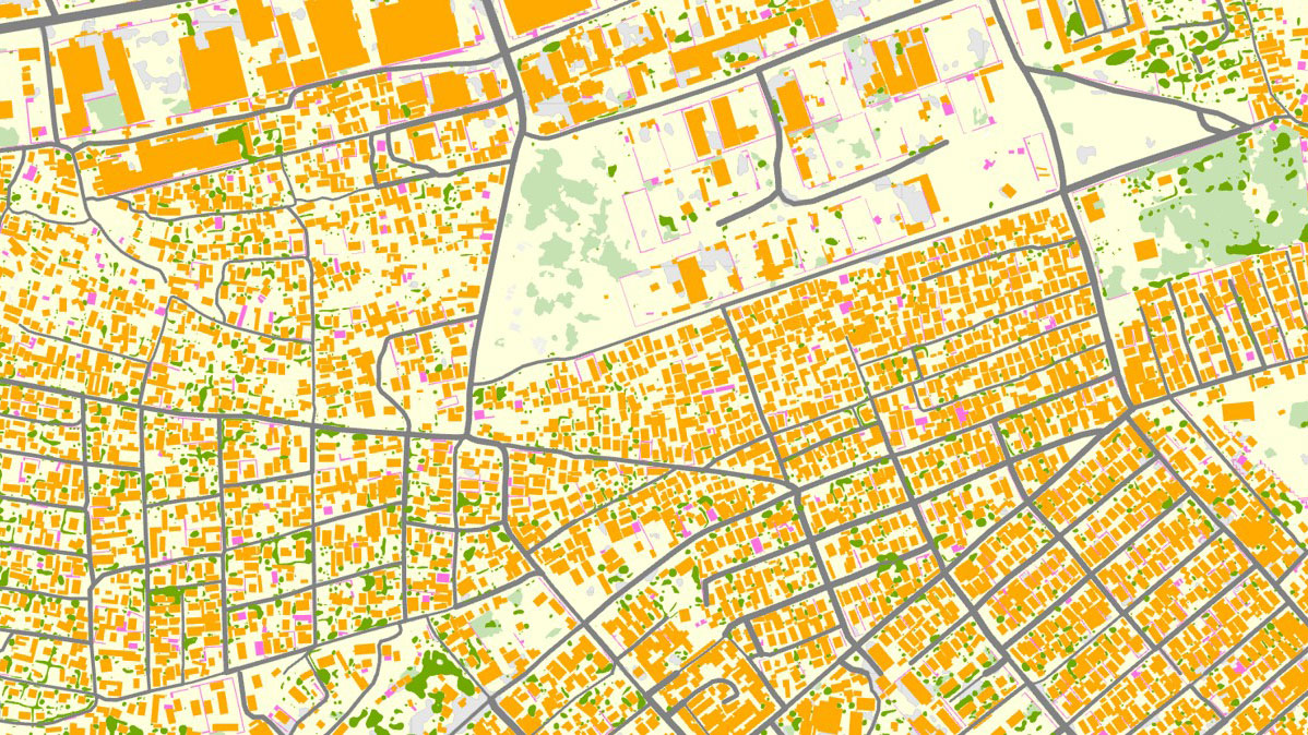
OS partnered with the International Growth Centre and the Commonwealth Association of Architects to create an automated digital map of Lusaka, Zambia. Using aerial imagery provided by the Zambia Survey Department, we used our automated process and artificial intelligence to generate a new base map across 42,000ha of Lusaka.
This generated a scalable and detailed digital map that has a multitude of use cases, including the design and management of critical infrastructure services, land use planning, transport planning, land tenure, ownership and administration together with the integration of future census data. Computers are taught what to look for in images using training data and the technology then automatically creates mapping quickly and accurately.

EV
The UK government is also using OS data to plan the installation of charging infrastructure for electric vehicles and plan for greener public transport.
An article will follow to discuss the challenges and opportunities of EV infrastructure, showcasing how geomatics can help solve those issues and move us towards net zero.
Mapping a sustainable future
Scientists have found that the UK is suffering from greater levels of biodiversity loss than most other major economies. More needs to be done to:
-
improve water cleanliness and access to water for people
-
protect and restore biodiversity
-
reduce flood risk
-
improve resource efficiency
-
mitigate climate change.
The UK Environment Agency believes that adaptation is now just as vital as mitigation.
According to the Green Finance Institute's October Finance Gap for UK Nature Report, investment must increase by at least £44bn and as much as £97bn in the next 10 years to meet national environmental commitments.
In this context, the OS trends report emphasises how geospatial data is a valuable, efficient and necessary tool.
In measuring and monitoring the way the environment is changing, it can accelerate viable responses to climate change.

.jpg)
