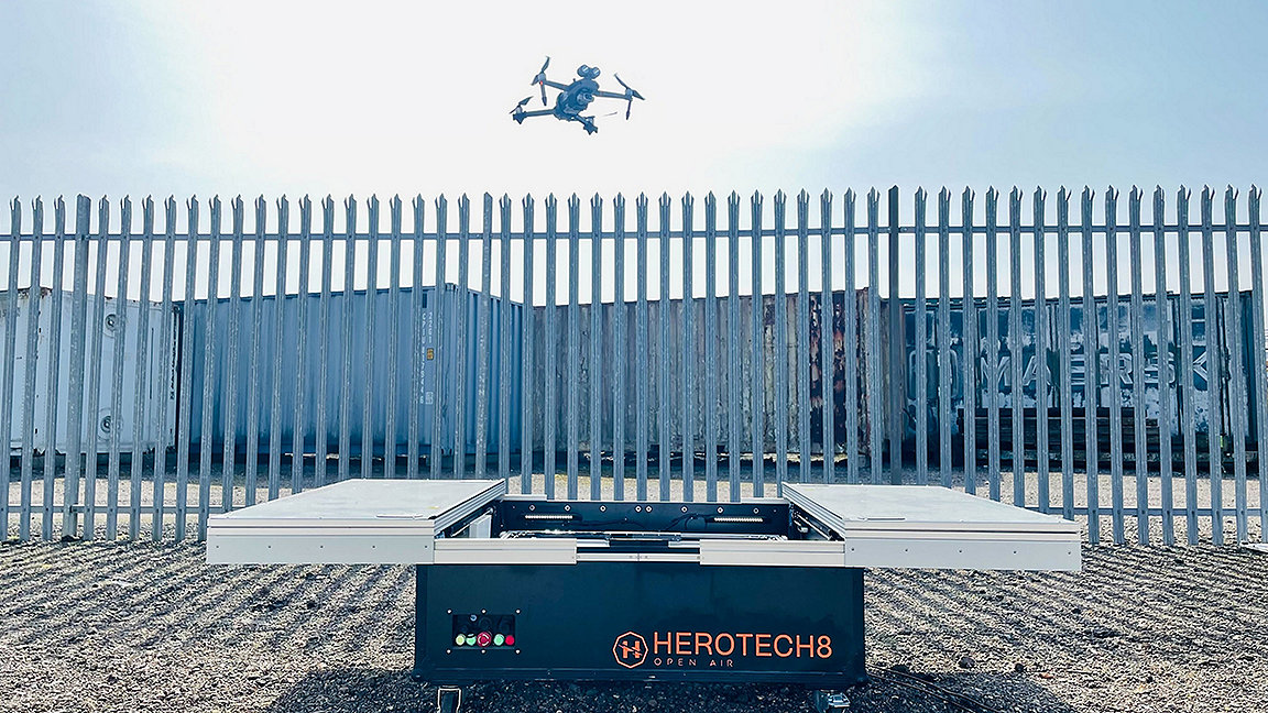
Herotech8's drone-in-a-box taking off © Herotech8
From conducting inspections at height to traffic monitoring, from moisture mapping to 3D modelling, drones have become a valuable tool for building surveyors. However, the profession could still be lagging behind many other UK sectors by failing to realise the potential of a revolutionary technology.
Undoubtedly, deliveries, transport and the emergency services stand to gain significantly from drone use. But the way we manage and maintain our built environment could also be completely reimagined.
Poor practice and barriers limit use
Research originally published by PwC in 2018 – and recently revised – found that UK business leaders feel that the use cases for drones have been poorly articulated, service providers lack credibility and bottom-line benefits are not clear.
Some of the common pitfalls identified in the research include:
-
more focus on flying or buying drones than on generating suitable data to integrate with existing systems
-
drone data not shared effectively with all stakeholders
-
siloed drone use in different areas of a company or project, resulting in data of varying standards and duplication of data collection
-
a lack of central control over an organisation's drone use
-
an immature procurement process for drone services, with the risk of gathering more costly data that is not fit for purpose.
From my own experience, there are a number of other practical obstacles to the widespread adoption of drones by building surveyors, including:
-
pilot expertise and availability
-
obtaining relevant permissions from landowners for take-off and landing; the best vantage point from which to fly is unlikely to be the target asset
-
the UK's unpredictable weather, which regularly upsets access planning and pilot diary management; this is especially problematic for reactive requirements such as assessing storm damage
-
the need to keep drones within line of sight, which is arguably the most restrictive regulation as this requires the take-off and landing area to be moved several times to record an entire asset, or a moving pilot, which can add complexities.
Regulations prevent drones fulfilling potential
Although these obstacles are not insignificant, many of us involved with drone operations believe that it is the enforcement of the Unmanned Aircraft (Amendment) (EU Exit) Regulations 2020 by the UK Civil Aviation Authority (CAA) that is the main barrier to exploiting the technology.
With most of the situations where they would use drones being in built-up or congested environments, building surveyors typically have two options under the regulations.
One is a drone of up to 250g under the open category, for which an A2 certificate of competence is sufficient qualification to fly and CAA authorisation is not necessary. However, with no practical test or experience required, the certificate has confused the matter of what constitutes safe and legal drone operation while prompting an influx of novice, part-time service providers.
Alternatively, a drone of more than 250g could be deployed under the specific category of the regulations. These require the pilot to hold a general visual-line-of-sight certificate by passing theory and practical tests alike, while they or their employer must submit a risk assessment to the CAA for operational authorisation – a significantly more costly and time-consuming option than the open category.
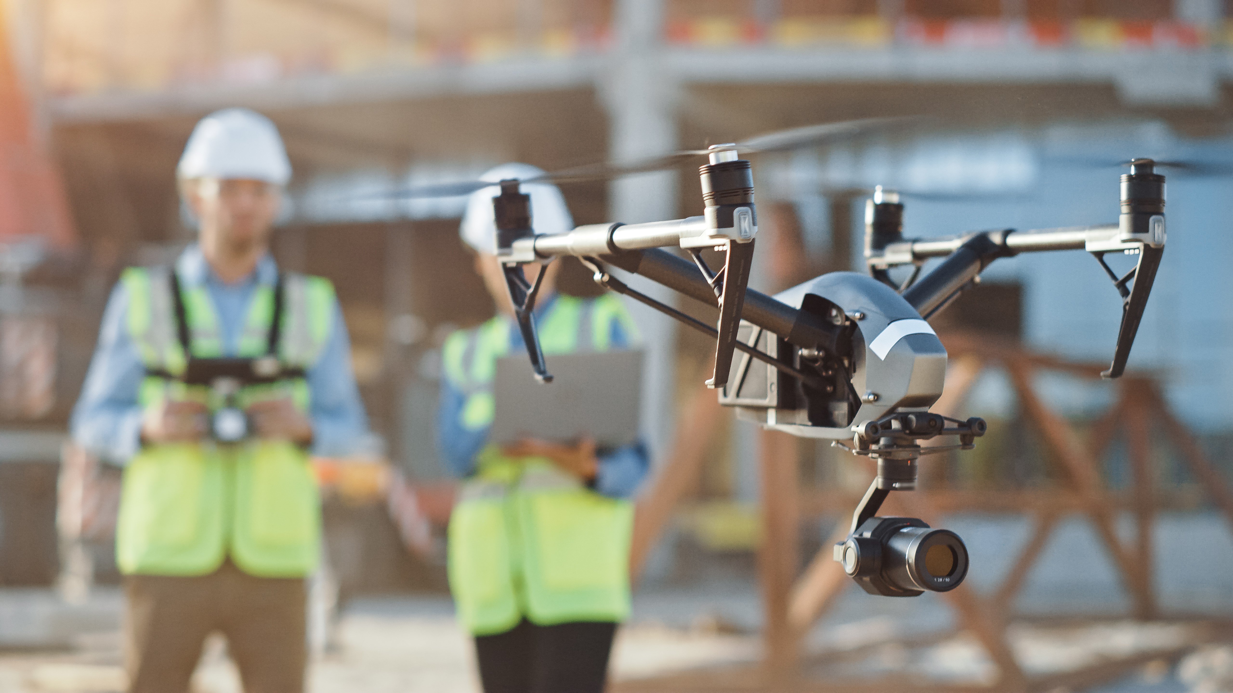
Both scenarios require that the operator keep the drone in sight, and fly only one at a time. Flights that are not within the line of sight are generally only allowed in segregated airspace where no other traffic is permitted to fly, and are authorised on a case-by-case basis by the CAA.
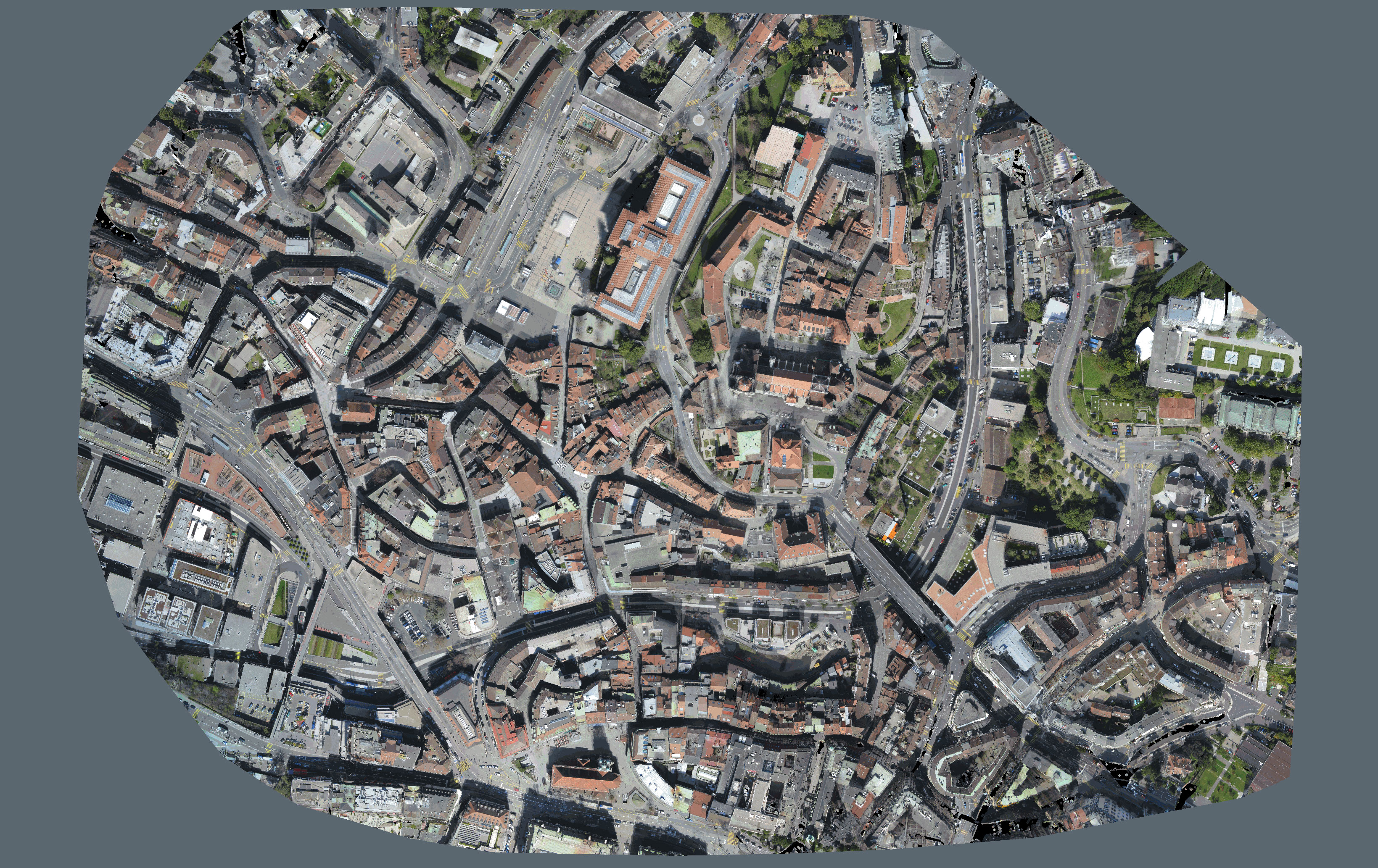
Although drones are difficult to regulate, given the seemingly constant development of next-generation devices and ever-growing list of sensor payloads, the technology itself is more of an enabler than a challenge. Mapping and modelling surveys are already heavily automated, so the role of the pilot is akin to that of an observer. Drones commercially available now, such as the Skydio 2+ and the Elios 3, can map their environment in real time and navigate dynamically without pilot input.
It would appear, therefore, that the current regulations are no longer adequate.
Economics support case for use
In an industry that PwC's research predicts to be worth up to £45bn in the UK alone by 2030, the largest commercial drone benefits could come from visual surveys and inspections in construction, housing and infrastructure.
The businesses that will benefit most will be those that are able to adopt and capitalise on the savings associated with drones. PwC's research estimates that costs for inspection and similar activities may fall by around 34%, and savings to the built environment sector estimate could be anywhere between £3bn and £5.5bn.
Routine operation in the built environment beyond line of sight would further improve the economics of the use case for inspection and survey. This was demonstrated, for instance, in the socio-economic study for UK Research and Innovation's Future flight challenge – cited in PwC's research – which suggested that inspections of power lines in Scotland by this method were 34% cheaper than current approaches.
'Drones commercially available now can map their environment in real time and navigate dynamically without pilot input'
UK government sets out ambition
'By 2030, we expect [beyond-line-of-sight] drones … will be ubiquitous for asset inspection, including energy infrastructure, road and rail, and [that they will] predominate in routine building and infrastructure inspections, with data automatically updating digital software analysis. This will include automated drone-in-a-box [systems] flying on pre-programmed routes on remote sites or responding to emergency needs.'
Investment targeted at innovation
A 2018 report on the future of drones in UK cities, published by innovation foundation Nesta, recommended not only that 'regulation be updated to reflect advances in drone technology, particularly around management of urban airspace', but also called for 'investment in the infrastructure that drones will need … to operate at large scale'.
This investment has already begun. UK Research and Innovation is providing £125m of government grants to support the Future flight challenge between 2020 and 2024, matched by £175m from industry partners collaborating in new electrification, flight and automation services.
Simultaneously, the CAA's innovation hub is running a so-called sandbox, which aims to enable and test means of detecting aircraft that are in breach of complying with their flying permissions, as well as improving drone electronic conspicuity and air traffic management.
Although the technology for autonomous drone flight beyond line of sight already exists, they must be able to detect and avoid crewed and uncrewed aircraft if they are to operate in unsegregated airspace and not have to rely on temporary danger areas. The ecosystem of autonomous drones operating with electronic conspicuity in the same airspace as other drones and crewed aircraft is often referred to as unified traffic management.
The projects include:
-
The intelligent drones for port and highways technology project, creating digital models and conducting inspections of infrastructure such as ports and highways.
-
Project HADO, evaluating live 24-hour autonomous beyond-line-of-sight drone services in the airspace of Heathrow Airport.
-
Project Skyway, a 265km corridor linking airspace above Reading, Oxford, Milton Keynes, Cambridge, Coventry and Rugby, enabling organisations in these towns and cities to access automated drone services.
Engagement now ensures future integration
But there is a noticeable lack of representation from surveying firms among all 14 projects that recently won funding from the Future flight challenge – especially when considering the opportunity the technology presents for the sector. Herotech8 and its partners, for instance, are encouraging engagement from surveyors at this crucial stage to ensure the technology is fit for purpose.
Today, drone-in-a-box systems are being installed and operated remotely across the UK, to conduct tasks from site visits to security patrols. For instance, the consultancy Gleeds has deployed a Herotech8 system for planned predictive maintenance of clients' assets.
In email communication, Scott Kenna, Gleeds' head of building surveying, said: 'Gleeds are investing in new ways of working and developing next generation digital products and services. We strongly believe automated drone infrastructure will enable many of these new digital methods and our ability to continue managing and maintaining the built environment going forward.'
Systems, like the one employed by Gleeds, have allowed surveyors to observe inspections remotely in real time, ensuring data quality while removing the costs of travel and site time. But perhaps most significantly, drones enable routine and reactive surveys alike to be conducted autonomously without any pilot or surveyor input.
There is no doubt drones will become integral to the way we manage and maintain our built environments. I foresee a time where – combined with other evolving technology such as artificial intelligence, non-destructive testing, advanced robotics and 3D printing – automated drones will not only detect and predict defects but be capable of fixing and even preventing them.

Mike Edwards is a consultant at Morrigan Consulting
Contact Mike: Email
Related competencies include: Inspection, Legal/regulatory compliance

