More than ever, property developers are being encouraged to engage in an open planning process that is transparent to the public. The government is, for instance, proposing fundamental changes to the system in its Planning for the future white paper, including the mandatory use of accessible digital consultation tools. The pressure is on the proptech sector to digitise the process to support quicker and more meaningful public engagement.
But none of this may be possible unless we review the way we manage data. Government restrictions on access to many public datasets about our cities and infrastructure impede progress in developing smarter cities across the UK. Public digital platforms such as Your.VU.CITY and research programmes such as Colouring London can enable much wider participation and engagement – but only if the data is available to them in the first place.
Digital planning platforms
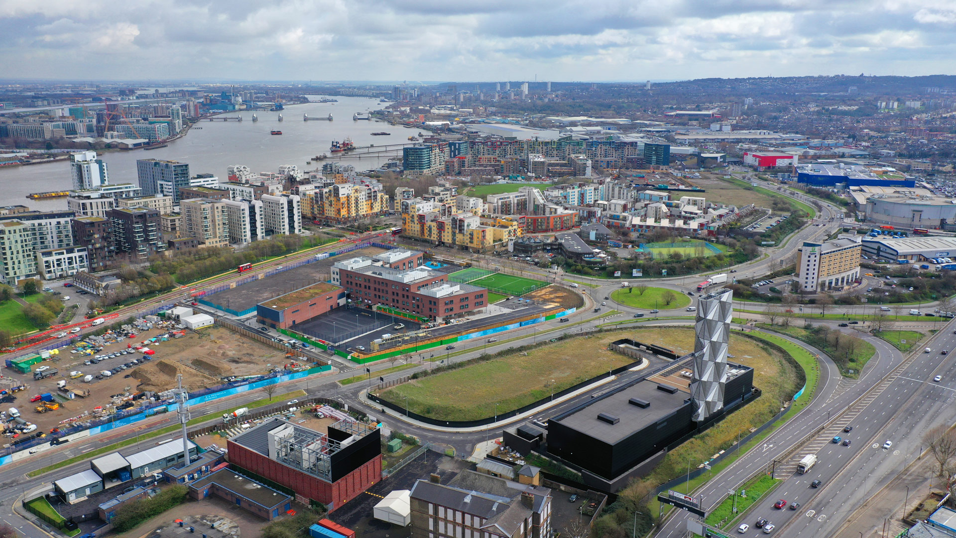
VU.CITY was set up in 2017 with a simple aim – to create an accurately modelled 3D digital city map that the property sector could use to understand a scheme’s impact during planning. It has since become a platform for smart cities, offering a digital twin of London as well as the centres of 19 other cities and towns, in the UK and internationally.
Likewise, Colouring London was set up in 2016 with an equally simple idea: to create a prototype for open-source data platforms providing building attribute data. The platform is designed to collate, collect, generate and visualise open data on urban building stock.
The data, collected, visualised and made accessible by Colouring London, complements VU.CITY, as many types of data collected within the platform are not current available as open data but are hugely beneficial to planning. The platform also deals with data fragmentation, missing data and lack of comprehensive coverage, as well as data accuracy, precision and uncertainty. A number of features allow users, which include developers, architects and planning consultants, to assess the reliability of the data themselves, including the source, uploader and level of uncertainty. For instance, in the building age category, users can add data for the earliest and latest possible construction date.
VU.CITY and Colouring London are now working together to help support greater public access to a more agile planning system.
Constraints and criteria
Traditionally, developers, planners and architects have mapped out schemes in 2D space, seeing and testing proposals piece by piece. With the remarkable growth of proptech over the past few years, this approach is now shifting.
For instance, VU.CITY can provide interactive 3D digital twins of cities, accurate to within 15cm, including all existing buildings and major consented schemes. In a matter of minutes, users can conceive and view their proposals in the city as it stands.
The buildings’ footprints, physical boundaries and situational context can be accurately viewed, while users can also move forward in time and see how their proposals will fit future development in an area. This becomes even more useful when combining multiple layers of data to create a more holistic understanding of a site, with all criteria and constraints laid out together.
Colouring London is also designed as a 2D digital twin, integrating multiple layers of data to enable understanding of site and building attributes alongside possible limitations. The platform allows everyone to contribute to the generation and verification of data, ensuring ongoing, collective auditing of the buildings. The expert knowledge of building professionals and historians on particular properties can be fed back into the system, and also used to correct and improve algorithms.
Though open-source data is visualised on the Colouring London site in 2D, it can also be streamed – as VU.CITY has shown – into 3D models. The data is also being tested in 3D rule-based models that allow hypothetical planning scenarios to be created to help councils explore and create local plans, and in their masterplanning.


The partnership between the 2 organisations has shown how commercial and academic collaborations can bring together diverse expertise to support a more efficient and transparent planning system. It has also demonstrated how errors in certain types of data can be more easily picked up in 3D, and has allowed for insights into types of open data required by, or of interest to, property developers, citizens and academia.
Our work together offers users the chance to combine datasets that incorporate planning information such as daylight and sunlight assessments at the start of planning, environmental impact studies, historical buildings and traffic flow alongside local legislation and plans in our digital twins.
This enables proposals to be made more quickly, as well as better engagement and for citizens and local authorities to work more effectively together, with greater awareness of local planning legislation, and a clearer understanding of local context and community.
Meaningful engagement
The Colouring London prototype can support proptech by providing open-source data for third-party use, which can help stimulate innovation and multidisciplinary collaborations, improving knowledge and dialogue between all stakeholders.
One of these projects has been our work with VU.CITY on a free platform that provides detailed city models for the public to use. In Your.VU.CITY VU.CITY has streamed specific datasets generated by Colouring London to help local stakeholders, regulatory authorities, developers and architects to view information relevant to planning proposals – which is crucial in a sector where transparency and understanding counts.
But doing so requires access to datasets whose use may be restricted. For instance, in line with its status as an academic project, Colouring London’s use of building footprints has been enabled by Ordnance Survey and the Greater London Authority. But VU.CITY is unable to use this dataset free of charge because it is a commercial body. This means that the data both companies hold is not easily transferable between our platforms, necessitating a great deal of work.
The recent opening up of unique property reference number data has been important for both organisations, and we are looking forward to the National Data Strategy which will make data more widely available. However, it is still important to stress that digital twins such as ours still require greater accessibility of data on buildings, addresses and property tax to optimise operation. Such data is now being released in an increasing number of countries, so it is important that the UK does not fall behind in this vital area.
Data sharing
Although strict privacy standards clearly need to be maintained, the logical step is that information on physical geography, public history, building footprints and general demographics is now shared with organisations that want to build and improve cities.
Greater openness, accuracy and granularity of spatial data is required to understand the exact composition of our cities, how well they work, and what we need to do to maximise their quality and efficiency in future. We would argue this is essential if the UK is to meet its goals for sustainable planning and zero carbon.
By opening up access, the government can allow platforms such as ours to continue to share ideas and to connect data, disciplines and sectors to exploit each other’s potential. The first steps are being made: as well as the National Data Strategy, the Centre for Digital Built Britain is working on identifying and collating national digital twins, while the digitisation of the planning process forms a key part of Planning for the future.
However, it is only the government’s accelerated release of the key datasets for third-party use that will allow initiatives such as Colouring London to verify, enrich, visualise and collate information, and enable VU.CITY to enhance and support the planning system by providing low-cost, high-quality 3D city models and planning and design tools.