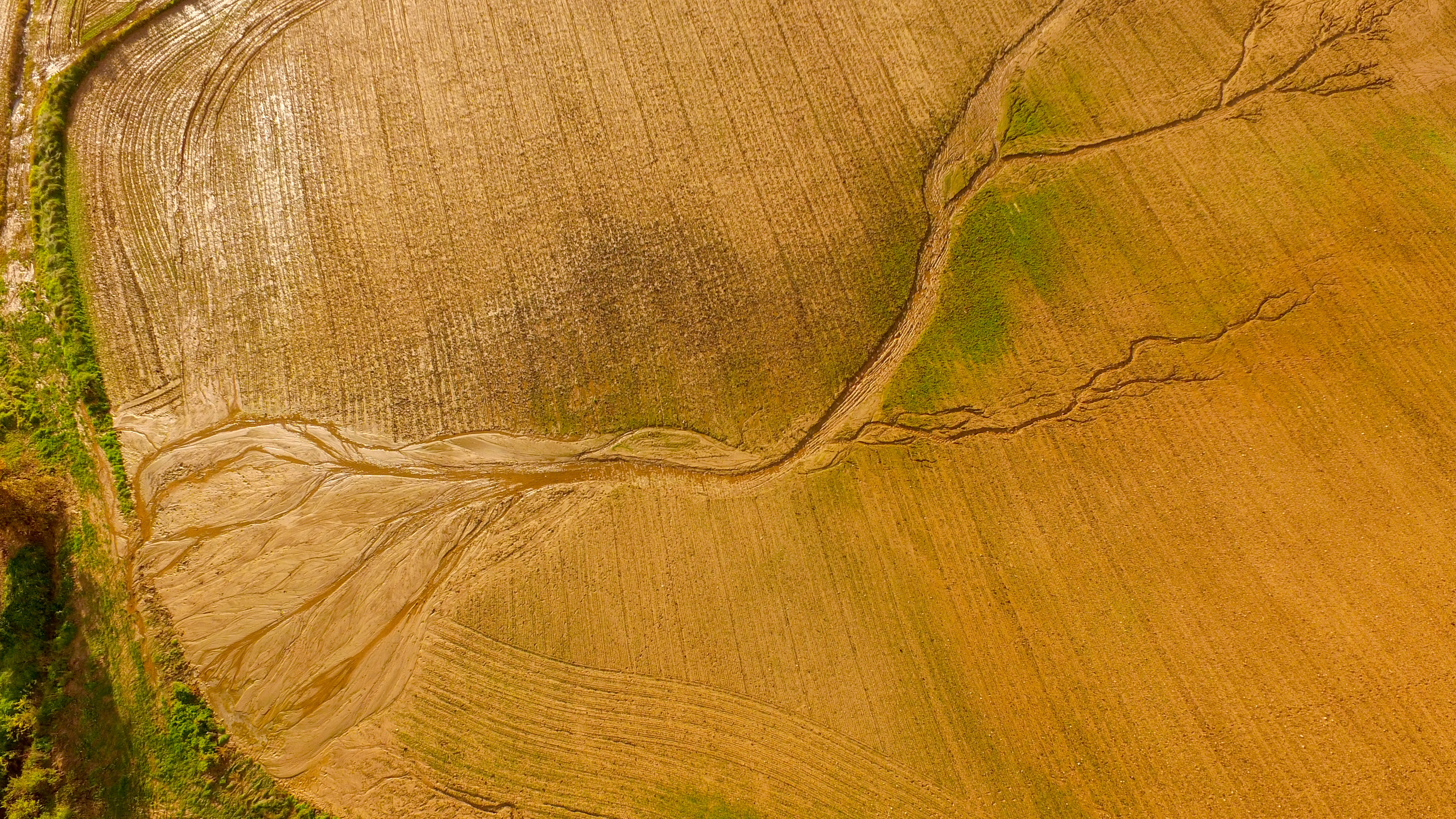
Stanage-North Lees Estate, near Sheffield. © Daniel Wildey/Peak District National Park
In 2020 the UK government announced a new ten-year Public Sector Geospatial Agreement (PSGA), which set out how Ordnance Survey (OS) should provide location data and expertise to the public sector.
Over the past couple of years, a large programme under the PSGA has focused on enhancing data about the natural environment to improve monitoring of biodiversity, accounting for carbon, and supporting environmental projects across the country.
Field boundary data can inform land management
Using an automated process, OS has created a new detailed data layer in its National Geographic Database (NGD) known as field boundary, which predominately covers rural and moorland areas of Britain.
The boundary represents and categorises a physical barrier between adjoining areas of land, whether walls, trees or hedgerows. The width and height of tree and hedge boundary features are provided to give an indication of size.
This new data can help a landowner or organisation by providing a general benchmark for existing biodiversity. Then they can understand the extent of natural land cover they can achieve to support their responsibilities to biodiversity net gain and new schemes under the Sustainable Farming Incentive, which encourages farmers and land managers to restore protected sites.
Measures to improve and protect the health of the natural environment include tackling the effects of climate change and contributing to the national Nature Recovery Network by managing hedgerows, buffer strips and field margins, as well as carrying out Landscape Recovery projects in appropriate places.
The field boundary dataset can show what already exists and where, and help users understand the volume of vegetative material needed for carbon accounting. Hedges are a high-priority habitat type that provides a network for pollinators, so it is important to understand their location, habitat network and connectivity.
The new data can also identify where wildlife corridors are, and where there are gaps allowing further development of this network.
NGD streamlines national park mapping
We at OS have been working closely with the Peak District National Park Authority for the past year, which has been keen to use the new field boundary data to help monitor changes to its landscapes. Its team has digitised OS maps from the 1950s, when national parks were created, and will be comparing the features and landscape with current OS data.
Until this point, the park's field boundary data could only be gathered through visual interpretation of aerial or satellite photography, or site visits carried out on a case-by-case basis. This required considerable resources, and therefore did not allow for monitoring boundary changes at a landscape scale.
The park's senior research and data analyst David Alexander comments: 'If we understand the condition of the park's landscape, we can protect and preserve valuable features – a process that can be replicated by other national parks.
'We are currently leveraging OS NGD field boundary data alongside MapReader software. Working with the Alan Turing Institute's Living with Machines project, we are able to quantify historic landscape features and compare them with present-day OS NGD data.'
This new field boundary data is also beneficial for other environmental-sector customers such as the Rural Payments Agency to support the effective administration of agricultural payments, as well as the numerous environment agencies for England, Scotland and Wales, major landowners and farmers. It can also help both local and central government in meeting net-zero carbon ambitions.
Cover types aligned with recognised classifications
The latest enhancements for OS NGD customers have linked data to recognised habitat classification schemes.
There are 33 OS land cover classifications that are now aligned to recognised classification schemes, namely the European Nature Information System (EUNIS) and UK Biodiversity Action Plan Broad Habitats. As an example, OS's land cover classification coniferous trees is mapped to EUNIS level 1 as T: Forest and other wooded land, and to EUNIS level 2 as T3: Coniferous forest.
The new data also provides percentage coverage information for natural land features. This aims to offer a consistent baseline to support customers with long-term habitat monitoring and understand how natural features change over time.
OS has used machine learning to calculate the percentage cover value of natural land types – for instance rough grassland or heath – in a single area. This can help environmental-sector customers understand the extent of natural assets where they are interested in increasing biodiversity and meeting net-zero targets.
Understanding Britain's landscape is important because many environmental policies can only be implemented by achieving the right land management in the right place, particularly in areas of agricultural and rural land.
OS NGD data supports land management decision-making to identify suitable areas for nature-based solutions and local nature recovery strategies. DEFRA has a specific target to increase tree canopy and woodland cover in England to up to 16.5% of land by 2050 – this data helps to identify where there are suitable areas to plant trees.
Such location data is central to tackling climate change. Understanding what measures can have the greatest impact on the natural environment and where they should be made is essential in monitoring habitats that need to be protected or developed.
Through continued customer engagement, OS intends to better understand the way our data is used, to inform future data enhancements in the NGD. This will enable our data to have a positive impact in terms of sustainability and nature recovery.

