Reducing our greenhouse gas emissions is one of the most pressing environmental challenges, both nationally and globally.
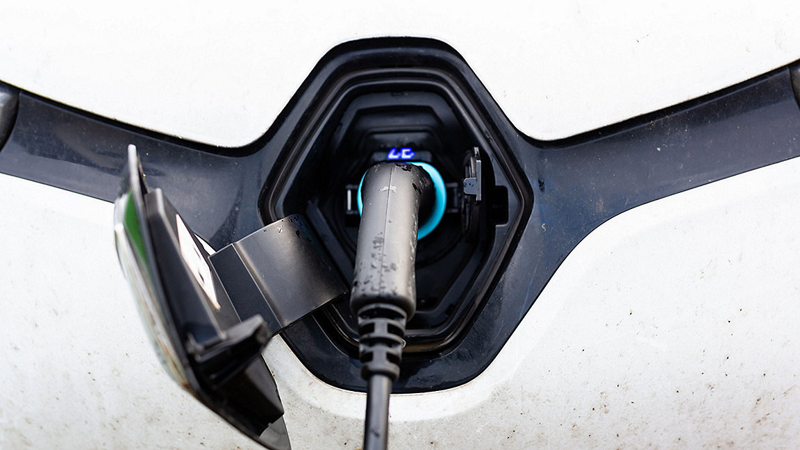
Transport has a large part to play in this effort, with 27% of the UK's total emissions coming from the sector. Much of this is produced by vehicles with internal combustion engines that run on petrol and diesel.
As part of a recent hackathon, Ordnance Survey invited innovators from the public and private sectors and academia to solve the infrastructure challenges related to EVs.
The event resulted in some distinctive innovations. It also revealed how geospatial data will play a crucial role in solving our most pressing environmental and infrastructure challenges.
Prioritising multiple demands for land
According to government statistics, land is the UK's most valuable asset, worth more than £5.4tr in 2017. But it is vastly oversubscribed.
Every square metre of the UK would need to be allocated many times over if the demands of all government strategies were to be fulfilled. Housing, recreation, transport infrastructure, energy production, waste management, farming, flood protection, and underground mineral and geothermal resources are just some of the areas in which various departments have staked their claims.
Geospatial data is essential to each of these. It allows us to understand the physical context of everything from a small land feature, such as a hedge or stream, to large national infrastructure. When combined with other data sets, it can also help establish the relationships between these features.
When it comes to building EV infrastructure, these relationships need close consideration. But the data about how each of the other resources or demands will be affected at a local, regional, and national level will also be essential. They all require space – which comes at a premium.
The government has to determine how to make the best use of limited space. Is housing more important than protecting access to green space, or maintaining space for flood water retention? Can certain land uses be relocated? Prime farmland cannot be moved, but there are many possible sites for solar farms, for instance.
In most cases, only the economics of the immediate site are considered in a land-use decision. However, increased collaboration and sharing data on land use can reveal common causes and help prioritise allocation.
'Geospatial data allows us to understand the physical context of everything from a hedge or stream, to large national infrastructure'
Planning EV infrastructure
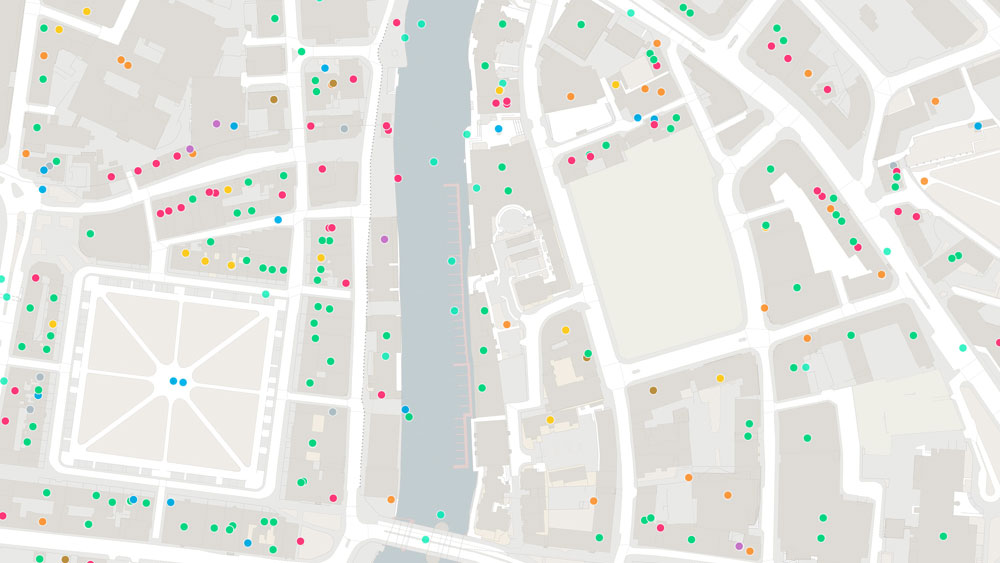
Housing, habitat, town planning and infrastructure are particular areas to consider when building on-street EV charging points. The need to ensure accessibility, maintain adequate pavement widths and minimise disruption to road users are just some of the demands that must be reconciled with the distribution of EV owners in a given area. This requires intelligent data aggregation and integration.
As EVs become more affordable they will become more accessible. We must therefore consider future demand now so we can model it. But there are more infrastructure challenges that must be overcome.
Enabling EV charge points and stations and keeping vehicles running safely will require significant development and energy. It's not just about providing on-street charge points: it's also about helping energy companies ensure the capacity to meet increased electricity demand. Further energy infrastructure will be needed to support the EV network, which will present local, regional and national challenges.
.jpg)
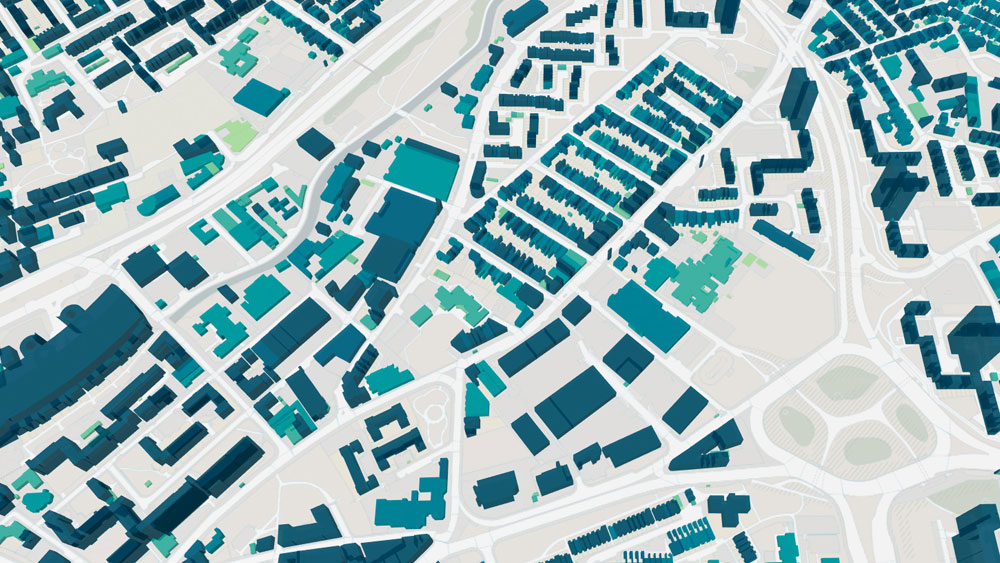
This is where geospatial data and analysis will be essential. In the Netherlands, mapping information and aerial imagery has been combined with AI to produce data on the potential of roof space for solar panels. The technology also enables the building and owner type to be categorised, which benefits policymakers.


In the UK, the ParkPower initiative in Scotland has combined data on green and blue spaces in urban environments to identify locations where ground-source heat pumps can be installed to supply energy to local buildings.
Furthermore, there is research in the UK on how we can harness our most abundant renewable energy resources: the sea and the wind. A 2013 review by the then Department for Energy and Climate Change estimated that wave and tidal stream energy had the potential to meet up to 20% of the UK's then current electricity demand.
Powering collaboration
While geospatial data will inform the way we create national EV infrastructure, the public and private sectors must be willing to collaborate, particularly on use of data. But with data now recognised as the most valuable asset for any organisation, many businesses might, with good reason, ask why they should give it away. A key driver of collaboration in this regard is the identification of common areas of interest.
The thinking of the different engineering disciplines involved in a large infrastructure project demonstrates the need to break down data silos and aggregate information. A term as simple as 'embankment', for instance, has a different meaning and geographical context for a rail engineer, a road engineer or a flood engineer.
On such projects, each discipline could have its own representation of that feature or embankment; but they are all working with the same asset, and probably blind to the activities of the others. Assigning a standard ID to such assets, such as a topographic identifier (TOID), can let all involved know they have a common interest in a particular feature without having to agree on the definition.
This is why the government has mandated the use of unique property reference numbers (UPRNs) and unique street reference numbers (USRNs) for identifying and sharing property and street information across the public sector.
The Public Sector Geospatial Agreement (PSGA), a contract between the Geospatial Commission and Ordnance Survey, is a further recognition that funding foundational geospatial data sets is essential for increasing collaboration and enabling innovation.
'A term as simple as 'embankment' has a different meaning and geographical context for a rail engineer, a road engineer or a flood engineer'
Taking a broader view
The global climate crisis and the challenges in reducing emissions are a problem for us all. EV roll-out is one part of the solution.
But to accommodate the many other infrastructural changes needed to reach net zero, we must take a holistic view of land-use demand and plan for the long term – and for the nation as a whole – rather than focusing on a single site or approach.
Rollo Home is head of product, Ordnance Survey
Contact Rollo: Email
Related competencies include: GIS (Geographical Information Systems), Surveying and mapping, Sustainability, Planning, Location or Geospatial Analysis
Read more about the OS hackathon and how teams took on the EV infrastructure challenge in Modus and in Built Environment Journal.
