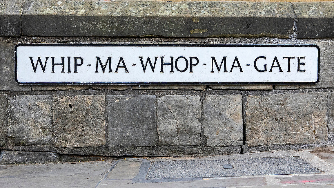
Local authorities in England and Wales have a statutory duty to name streets and number or name properties. But given their respective histories and heritage and the different laws governing this function, each council does so according to its own policies.
To ensure precision and meet the needs of developers, property owners, councillors, residents' associations and other local stakeholders – not to mention the emergency services, for whom accurate addressing is critical – officers must consider many factors when assigning street names and numbers. They must also follow a set of rules that depends on the legislation under which their local authority works.
Input solicited for comprehensive best practice
Given all these considerations, GeoPlace – the central source of information for all UK addresses and streets – convened a working group for local authority officers from England and Wales to develop best practice. The aim was to gather insights that could be used to create a national code of practice for street naming and numbering (SNN).
The local authority officer group and GeoPlace have together collected best practice from across England and Wales by holding focus groups, workshops and consultations, as well as seeking independent legal advice. The result is a simple, structured code of guidance and diagrams that ensures processes meet legislative and governance requirements.
The code forms part of a range of resources developed by the SNN working group that respond to local government officers' demand for greater support and guidance on their statutory responsibilities.
It complements GeoPlace's wider five-year-strategy for a world in which everyone benefits from the power of location data and the specific guidance on renaming streets, plus the existing resources GeoPlace has already developed such as the data entry conventions for standardised addresses.
Code offers guidance and consistency
The code comprises two main sections. The first offers guidance on 16 different types of SNN applications to create or change an address that have been identified, with flow diagrams showing the recommended process for dealing with each. The second section detailed guidance, aimed primarily at SNN officers, on a range of topics such as examples of SNN policy and best practice in local authorities.
Officers can work through the guidance following the suggested best practice if their local policy does not cover that detail. However, it should be noted that local policies provide the definitive rules for naming and numbering streets, and officers are not bound to follow the code if their policies differ.
The code can offer greater consistency for those who use the street naming and numbering services, such as property developers, particularly across local authority boundaries. It builds on property expert and TV presenter Phil Spencer's call for national property logbooks. He asserts that the unique property reference number (UPRN), which local authorities assign to each and every land and property unit in Great Britain, would be critical in connecting the data that the logbook would contain with a verified address.
The UPRN is then made available, along with other vital information such as the authoritative address and its status in the property life cycle, through Ordnance Survey's AddressBase range of products, based on data created by local authorities and collated and validated centrally by GeoPlace. SNN is the start and heart of this process.
Data enables better development
Local links between street naming and numbering officers feed into the Local Land and Property Gazetteer that are sent to GeoPlace daily. These include new developments, splits and mergers, improved accuracy of the precise location and change of status of a property, such as from planning into use. GeoPlace collates and validates this data into a consistent, national resource that is then made available to the public sector and others, such as Nationwide.
There are many use cases for this information. One example is how early life-cycle data informs site surveys for new developments and land-use changes. Fostering greater consistency in the way such early data is collected supports consistent surveys, leading to greater accuracy when making updates in mapping.
The GeoPlace SNN Practice Working Group team has ambitious plans for the code. In particular, it aims to develop new guidance to manage different scenarios, such as how to name and number multistorey mixed-use buildings with two entrances, rural multiple farm developments and multiple culs de sacs. In the meantime, GeoPlace is also developing a range of resources for the website and elearning modules to provide support for other bodies in this field.


