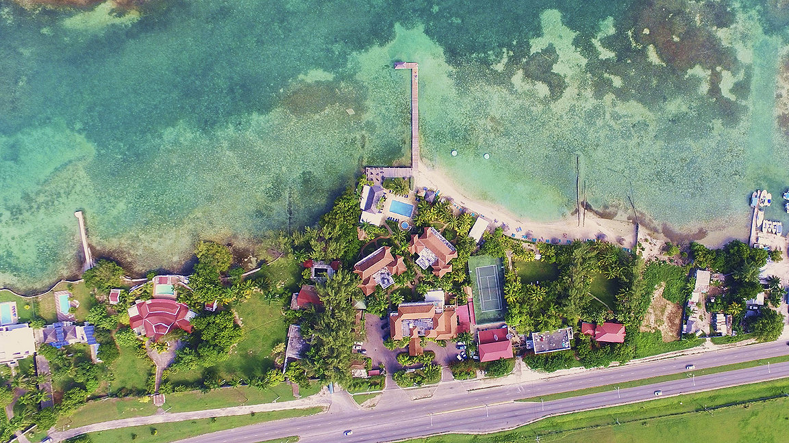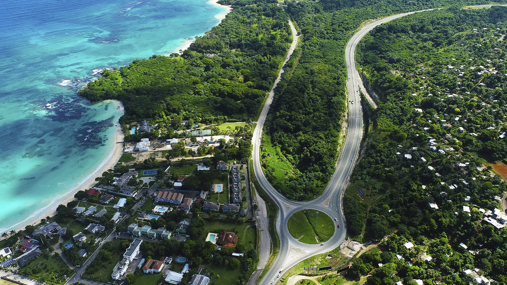
Aerial view of houses on the coastline, Jamaica
Drone technology has become an increasingly important tool in the modern surveyor’s arsenal. Unmanned aerial vehicles (UAVs) can reach places people can’t and capture thousands of high-resolution images while they’re at it. But it wasn’t long ago that the UAV was a niche bit of kit used primarily by the military, with few day-to-day applications for civilians.
Frederick Gordon MRICS, a senior valuation surveyor at Jamaica’s National Land Agency and Robert Herman MRICS, co-founder and CEO of REscan, discuss the on-the-ground application of drones in surveying.
Covering more land, more quickly
After taking a three-week course at the Caribbean Maritime University in Jamaica in 2019 (costing JM$300,000 (£2,000) with JM$1m (£6,700) spent on the drone), Gordon was immediately tasked by the National Land Agency with a major land surveying project.
“We had work to do on Discovery Bay and if we had contracted it out to someone else with drones we could have paid up to JM$5m (£24,000) for that survey,” he says. “So there were immediate savings.”
Not only is it saving the National Land Agency money, but it’s saving time too. In hours or even minutes, Gordon can now survey vast areas of land that would previously have taken days to cover by foot.
“When I say I’m more efficient now, I’m way more efficient” he says. “We had a project recently that was surveying 100 acres of arable land and once the drone was flying it was done in under five minutes. From that photography we can extrapolate videos, photos, terrain, trees and more. The drone isn’t just a camera anymore, it does everything, that’s why a lot of people worry that AI is taking over our jobs. It’s not, it’s just a tool for surveyors.”
Robert Herman echoes those sentiments and says drone technology has been a huge game changer to the surveying profession. “The entire process of how information is captured has changed, he says. “If you think back to when we used satellites to understand the globe, they were ridiculously expensive, and it was only the likes of NASA that could afford them. Then large private companies started to send them up into space. But these were smaller satellites and the resolution of photos they could take was not as good and couldn’t be used by surveyors.
“Then we move onto planes, with Google and other companies unleashing fleets of planes used for mapping. But they were focusing on a general-purpose use for the masses – high value targets like big cities. Then with drones, all of these boundaries came down, anyone could buy a half-decent drone and map an area of interest to them.

“Places that were previously inaccessible, such as flooded areas, are now accessible by drones. The other day I saw an oil rig being captured thoroughly from every possible angle. In the past that was simply not possible. The possibilities have skyrocketed with drones.”
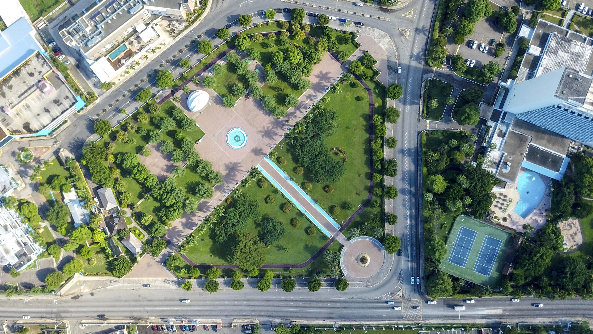
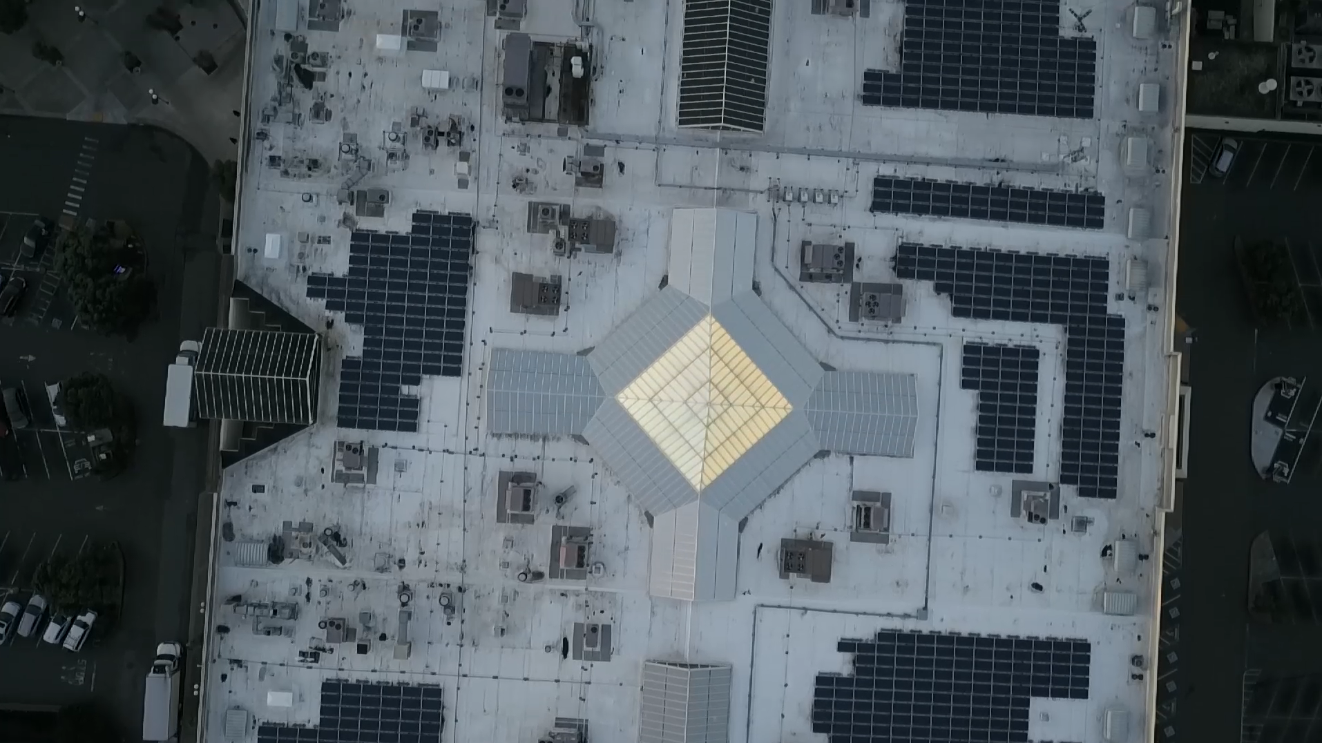
The type of data gathered by drone surveys is also broader and means surveyors can offer clients extra services. “It’s opened up a lot of new avenues to us,” says Gordon. “The software we use gives us a whole range of products including orthomosaics (interactive drone maps), 3D rendering and terrain modelling.” What’s more, Gordon says they used to employ IT specialists to create 3D models but now the software that comes with the drone does that automatically.
Drones have become so ubiquitous to the surveying profession that there are tech start-ups offering drone-based mapping services who have no previous experience of boots-on-the-ground traditional surveying techniques.
Herman highlights just a few: “There’s one called Skycatch that specialises in mapping quarries and mines and another called Drone Deploy specialising in the agriculture and construction side. Or Hivemapper, that captures a lot of data and then detects how city architecture is changing. He says any company that is serious about surveying has at least one qualified drone pilot, to meet demand for the service.
A UK statistic in RICS’ Insight Paper ‘Drones: applications and compliance for surveyors’ gives some idea of the growth in drone ownership over recent years. It states, according to the UK Civil Aviation Authority’s list of approved commercial operators of small unmanned aircrafts (SUAs) weighing less than 20kg: “there were 359 permitted SUA operators in the UK by the middle of 2014. By September 2015 this number had jumped to 1,036; April 2016 saw an increase to 1,557; and by February 2019 there were approximately 5,000 permitted drone operators in UK airspace.” That’s a 1,292% increase in just five years.
When I say I’m more efficient now, I’m way more efficient Frederick Gordon MRICS

Rules of the sky
While it’s a fairly straightforward process to buy a drone and get someone qualified as a pilot, there are laws around operating drones to be observed, especially aviation law. Gordon says some people make the mistake of thinking the drone is just a very advanced toy, but part of his course at the Caribbean Maritime University was about understanding the rules and regulations of drone flight.
“A lot of laws govern drone flight,” says Gordon. “There’s a regulatory body we have to answer to – the Jamaica Civil Aviation Authority. They give us permission to fly and limit us to flying at 400 feet high. And you can be arrested if you fly near airports.”
Herman agrees that there are a lot of areas where you can’t fly or need permission but says there are now apps being developed which can give you automatic authorisation to fly in a designated area. “You just mark the area you want to fly in and as long as you stay under 400ft and in line of sight, you can get authorisation to fly in most places.”
Legalities aren’t the only limitations – there are some tasks UAVs are yet to master, such as mapping building interiors. “In places like office buildings, how is a drone going to open a door? asks Herman. “That will take some time. Doors might all be automated eventually but for now you generally need to manually turn a doorhandle and push or pull. You wouldn’t want your drone to fly in a crowded shopping centre either, although they already do some drone surveying in large warehouses.”
When it comes to how drones might change the built environment of the future, Herman says drone landing pads could become a common building feature. “When I speak to clients in commercial property and real estate investment who are thinking about the future of the office and retail, they are talking about drone delivery platforms,” he says. “Instead of thinking about a helicopter landing pad on top of the building, it’s about where to have the dedicated area that drones can fly in to, drop their package and fly out. It’s a massive consideration when it comes to designing buildings.”
Places that were previously inaccessible, such as flooded areas, are now accessible by drones Robert Herman MRICS


Frederick Gordon MRICS is a senior valuation surveyor at the National Land Agency in Jamaica.
Robert Herman MRICS is the co-founder and CEO of REscan. He is a member of the RICS Americas World Regional Board, where he advocates the use of technological solutions to connect the industry with the digital economy.


