Artificial intelligence (AI) is transforming surveying. AI-powered tools and technologies are revolutionising the way all professionals in the field write documents, assess claims and determine feedback, as well as helping collect, analyse and use spatial data.
Spatial data – that is, data with a location component – has long been the cornerstone of surveying. As technology has improved it has enabled greater manipulation and analysis of that data at scale to allow informed insight about place, also referred to as location intelligence.
For many years, surveyors have relied on instrumentation they operate to collect and manage data in the field, such as total stations, GPS receivers and laser scanners. Even though these instruments and systems have become more sophisticated and increasingly automated, they still rely on human set-up and operation.
Furthermore, greater use of remote-sensed spatial data – such as aerial and satellite imagery – for desktop analysis and outputs using GIS and spatial data processing has negated the need for some fieldwork measuring vegetation encroachment or extents of ownership.
These technologies allow for determination of client requirements and impacts at scale, and the ability to create automated routines and classification, saving time and improving accuracy in many cases.
While these methods are effective, they still require an element of labour-intensive human resource, which can be time-consuming and prone to human error. Enter AI, which offers opportunities to streamline surveying operations, provide location intelligence, improve accuracy and enhance decision-making processes.

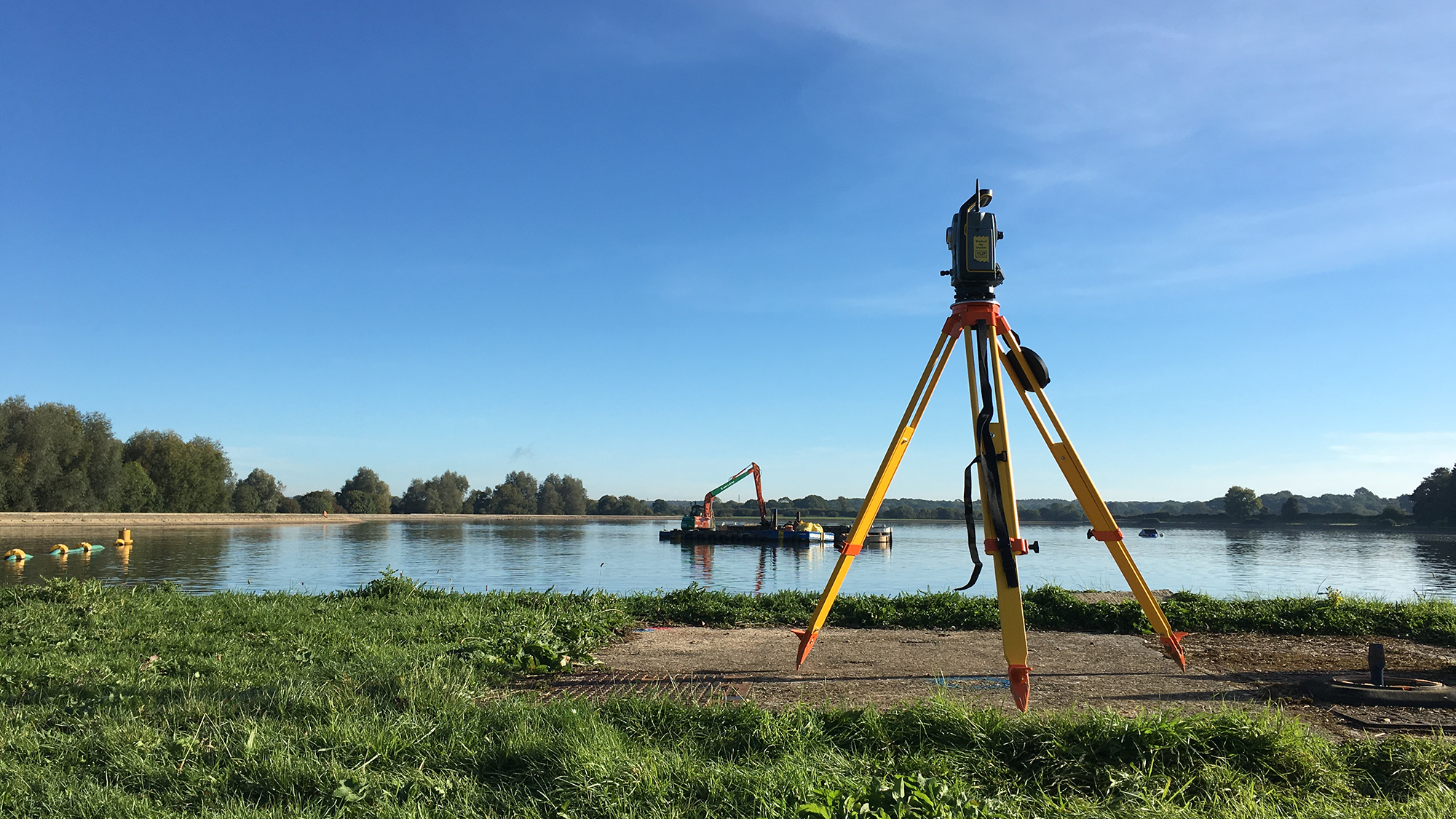
Total Stations have enabled faster data collection and improved geomatics workflows. © Dalcour Maclaren
AI is being used in various ways across surveying to enhance the generation of location intelligence. At Dalcour Maclaren, we are developing our understanding of how AI and machine learning – how a system develops its intelligence – can support our business in the following ways.
The integration of AI may fundamentally change the role of surveyors in several ways.
While AI technology is an exciting development in the way we provide location intelligence and surveying services for our clients, it should like all technologies be treated as an enabler and not a replacement for human experience and interaction.
Dalcour Maclaren graduate surveyor Nick Ruddell for instance comments in The Green Chronicle: 'For those who qualified in the 1990s or earlier, the question of whether AI will make the surveying profession obsolete is probably of little more than passing interest; they can realistically hope to have retired before its influence becomes too pervasive. But my generation can't afford to take a head-in-the-sand approach.
'Most of us are going to need to work for the next 40 years or so. As Bill Gates once observed, although society tends to overestimate how much impact a new technology will have in a one-year timeframe, it tends to underestimate the impact it will have over a decade. So, if AI is going to make the role of surveyors redundant by the time we are in our mid 30s, it would be pretty futile for us to be setting out on this career path now.'
However, Ruddell remains optimistic that AI won't render surveyors obsolete. 'Although the rise of AI has raised concerns about the potential redundancy of certain roles in the property sector, there are still many areas that I am convinced will continue to require human attention. Interpersonal skills are vital in the property sector to facilitate effective communication, foster strong relationships, aid in negotiation, build trust with clients and contribute to problem-solving.
'I work largely on the compulsory acquisition of land, where dealing with people's emotions and making ethical decisions are key. While I can see that AI has the potential to become a useful tool in valuing properties to be compulsorily purchased – given its ability to analyse market trends and large complex data sets – I believe any attempt to use it to manage the process would be hugely counterproductive.'
On a broader scale, he notes: 'Surveying is a sector that seems to me to require a high level of human expertise and professional judgement. While powerful, I am sceptical that AI could replicate the nuanced understanding and experience that a human surveyor brings to their role.
'I do not doubt that in the not-very-distant future AI will be able to handle repetitive tasks, process large amounts of data and provide insights that can enable surveyors to make better-informed decisions. But I am convinced that the role of the surveyor will remain crucial, and their expertise and skills will continue to be in demand in the foreseeable future.'
AI is here to stay and has the potential to revolutionise surveying. But while it is a game-changer for projects that rely on location intelligence and insights, it will still require the human touch to navigate through complex and emotive scenarios.
As AI continues to evolve, surveyors must adapt to these changes, embrace new technologies, and position themselves as leaders in the era of intelligent surveying.
Simon Navin MRICS is geomatics business development director at Dalcour Maclaren
Related competencies include: Data management, Geographical information systems (GIS), Remote sensing and photogrammetry, Surveying and mapping
PROPERTY JOURNAL
Ian McGuinness FRICS 14 June 2024
LAND JOURNAL
Brendan O'Neill 23 May 2024
BUILT ENVIRONMENT JOURNAL
Sally Friswell 03 May 2024