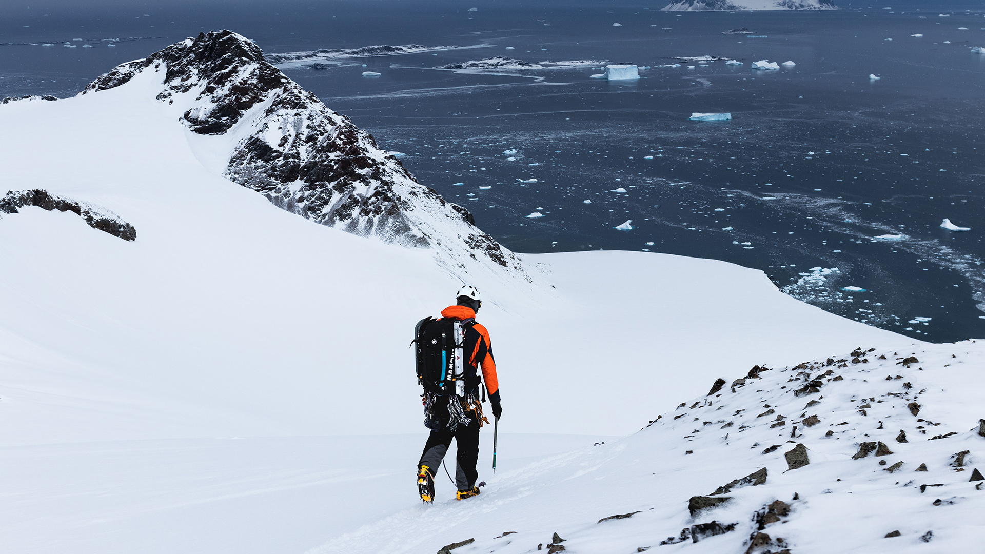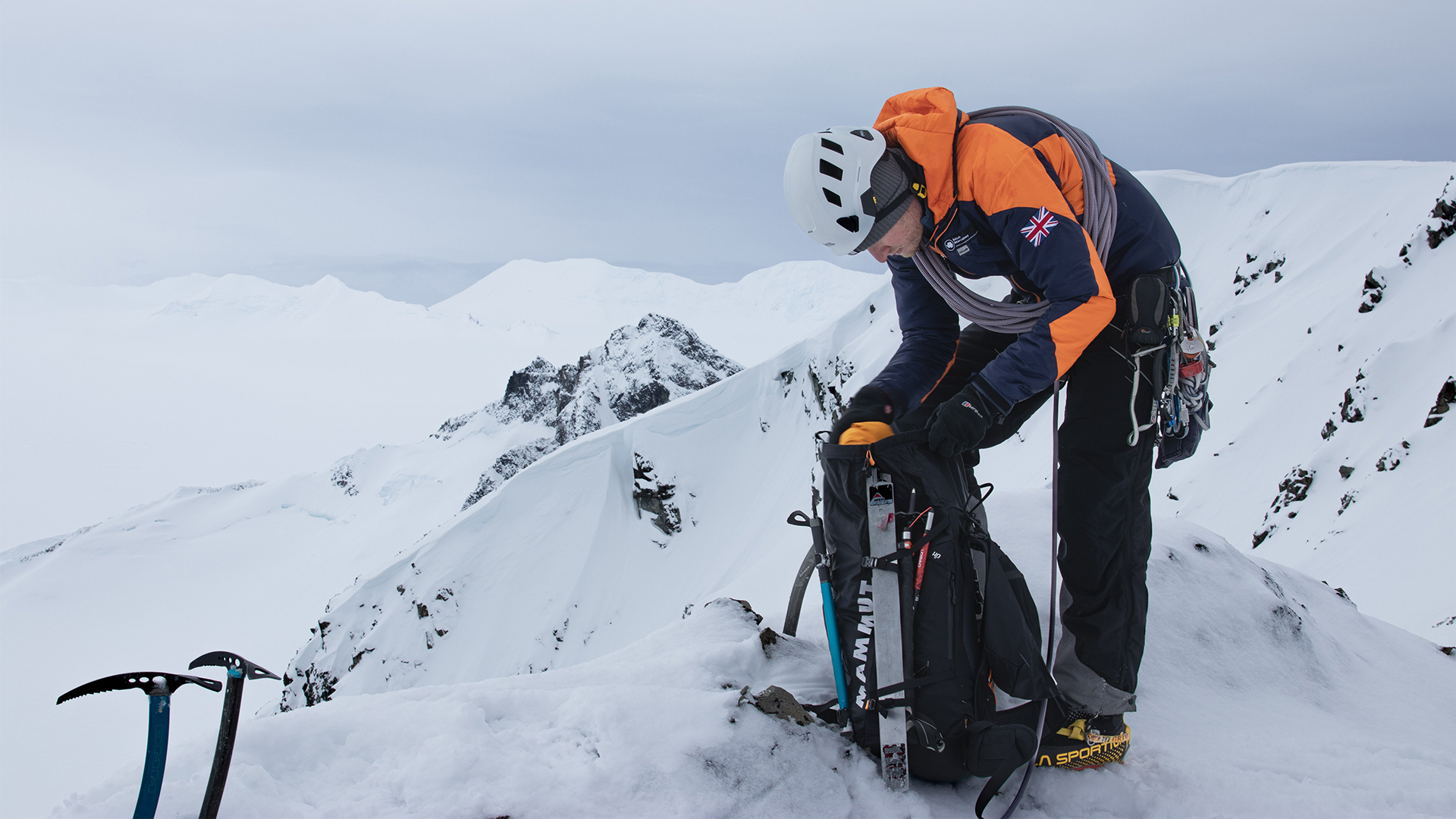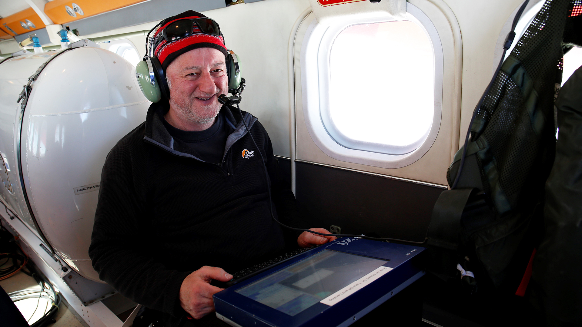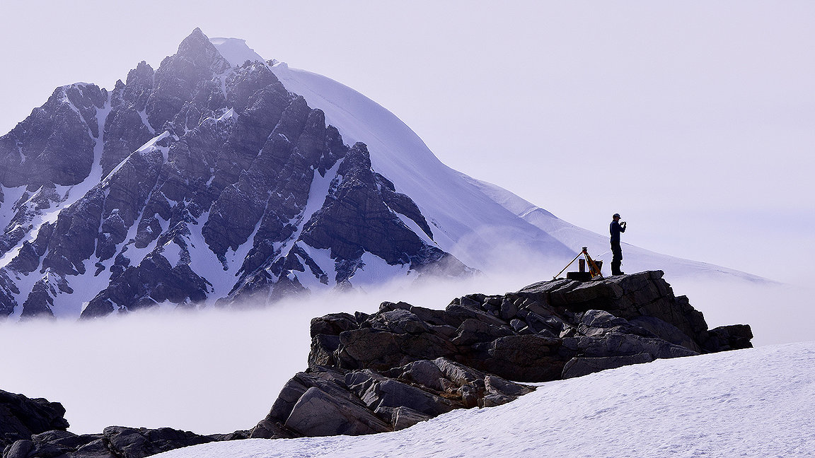
Nathan Fenney conducting a GNSS survey on Stonington Island, Antarctica. Photo by Geoff Cooper
Imagine being a surveyor in a location so remote that it takes several days to reach, and you spend weeks or even months at a time there in temperatures that are usually well below freezing.
For the now-retired Dr Adrian Fox MRICS, former head of the Mapping and Geographic Information Centre (MAGIC) at the British Antarctic Survey (BAS) in Cambridge, that was all part of the job. He was with BAS for 32 years and took part in 15 Antarctic field campaigns – mapping, measuring and naming a mass of icy land so far from anywhere that it has never had an indigenous population.
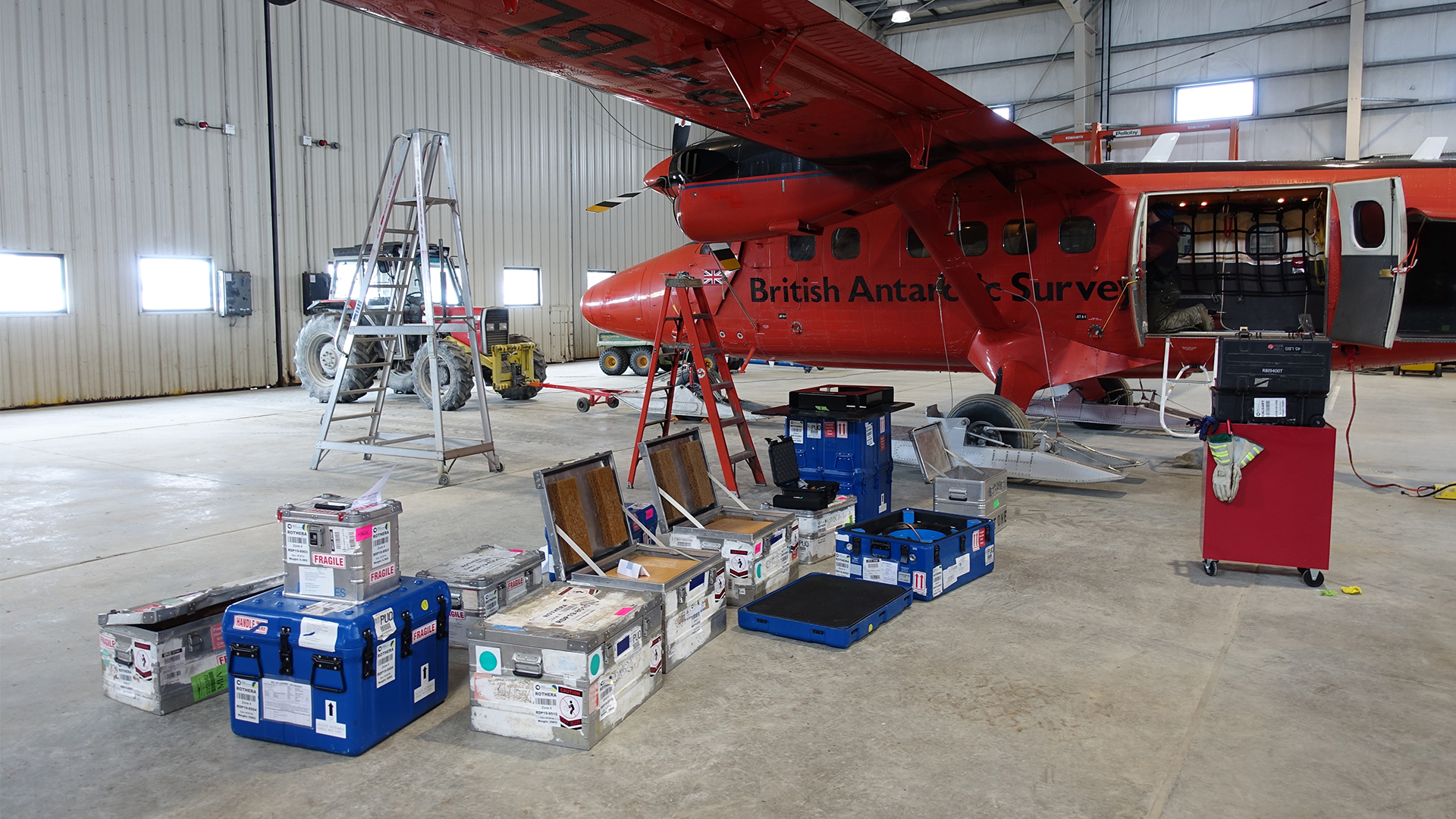
On such expeditions, Fox was based at Rothera, the BAS research station to the west of the Antarctic Peninsula, for up to five months at a time. Getting there involves a military flight from RAF Brize Norton in Oxfordshire to Ascension Island in the South Atlantic Ocean before another flight onwards to the Falkland Islands (about 300 miles east of Argentina) or flying to Punta Arenas in southern Chile. From there, BAS’s own aircraft, Dash 7, takes you to Rothera for a very accurate landing on the compact 900m-long airstrip.
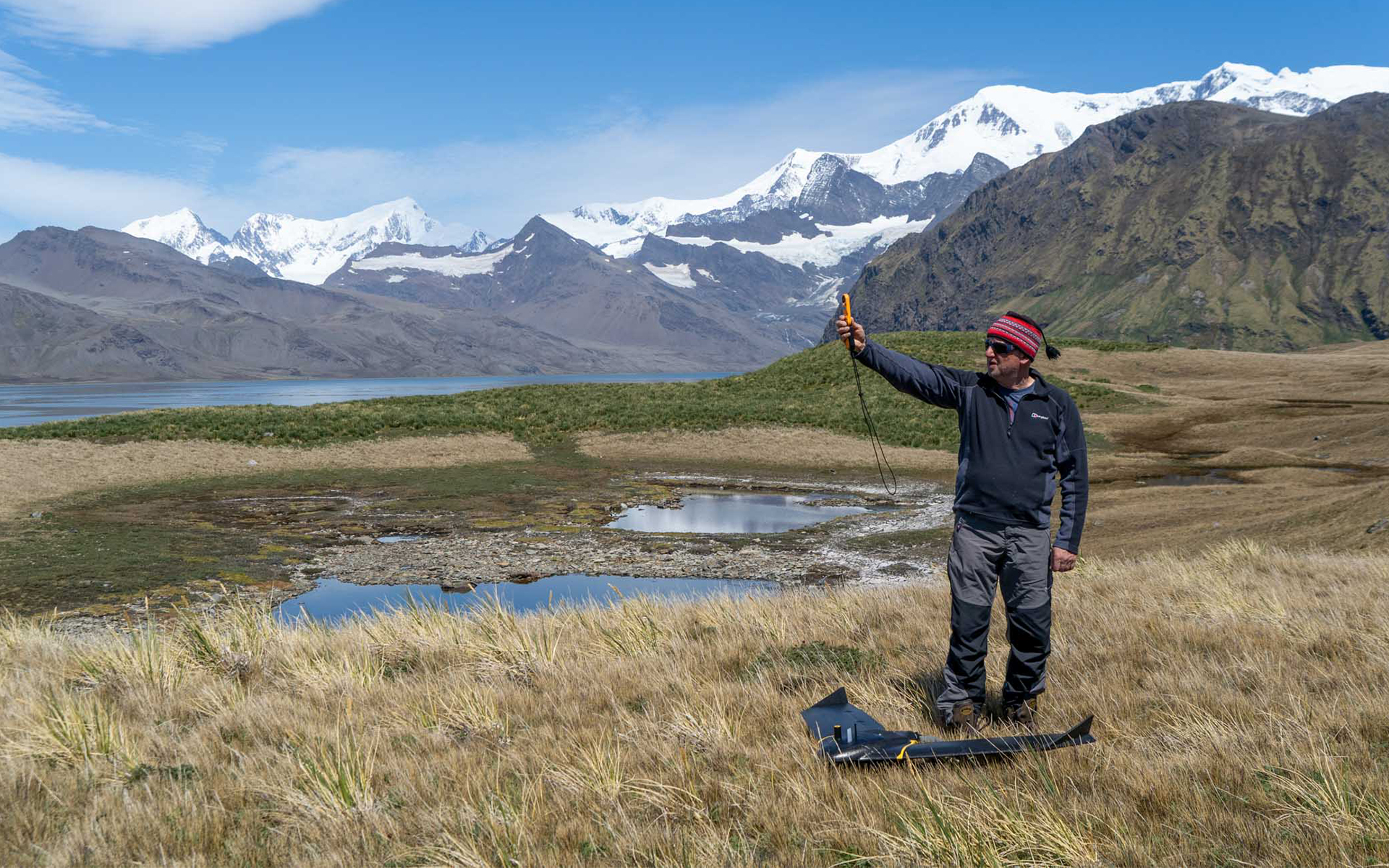
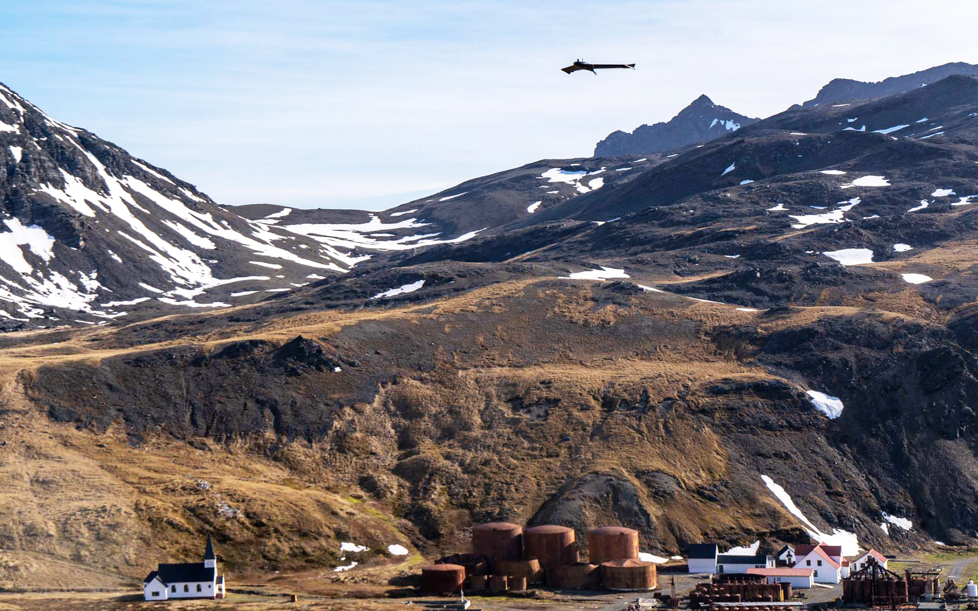
Now Fox has hung up his snow boots, geomatics specialist Nathan Fenney is taking on the chartered surveyor mantle at BAS. He’s currently working towards his MRICS accreditation alongside projects such as flying fixed-wing drones in Antarctica and South Georgia, surveying vast expanses of land and animal populations.
“We did a project last year surveying McCallum Pass using one of the drones and it was a 20km drive on a snowmobile to get there,” says Fenney. “It took at least three days of intensive training just to be able to go and do that trip because of the dangers that exist even 20km from the station. You're suddenly beyond help or it's going to take a long time for a rescue team to get to you.”
The only way to get a BAS team to South Georgia is by boat, on a South Georgia and the South Sandwich Islands fishery patrol vessel which takes several days to reach the drop off point. It can be rough crossing – it’s not a job for anyone who is too attached to their home comforts.
Drones come into their own
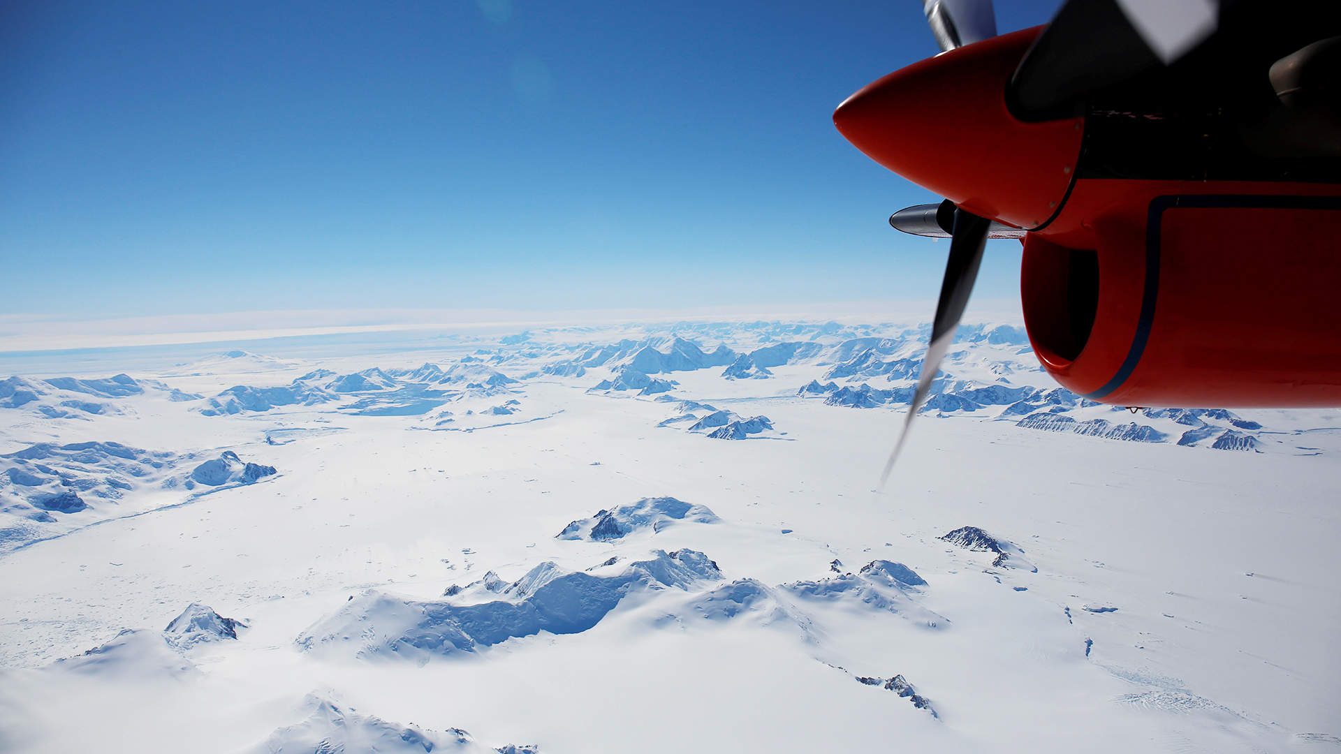
In the course of Fox’s 32-year career with BAS, the speed of technological change and its impact on the job has been significant. Increasingly, work that used to require a traditional airborne survey can now be done with drones, freeing up an airplane for use elsewhere, saving money on fuel and having a lower environmental impact. It also makes tasks that used to be near-impossible much more possible.
“The South Georgia Wildlife Census project is a perfect example,” says Fox. “You can't get an aircraft in a meaningful way to South Georgia because there's no airstrip. To get a helicopter over there would be logistically difficult and hugely expensive. It's a perfect use case for drones, where you can do remote landings from a ship and be ashore for a few days.”
Surveyors are now able to operate drones beyond their visual line of sight (a relatively new development) and survey entire islands without setting foot on them. This reduces the impact of human presence to virtually zero and leaves any local wildlife population, such as the wandering albatross, undisturbed bar the presence of a drone overhead for 10 minutes.
That’s not to say drones have replaced airborne surveys entirely though. “Initially there was the view that drones would take over from airborne surveys, but drones aren't anywhere near reliable enough and able to operate at the same ranges as an actual aircraft,” says Fenney. “The cameras aren't big enough or accurate enough and so airborne survey absolutely has its place.”
There’s also the human element of the role, encapsulated by Fenney’s admiration for Fox’s location naming ability: “Adrian has spent a lot of time in planes [doing aerial photography] over the years and is capable of pointing out or naming almost any location he sees as he flies across, which is very impressive.”
Technology has made the way in which BAS works nearly unrecognisable from 30 years ago and hugely broadened the scope of what geomatics experts like Fox and Fenney can do. “When I first started, my job was working in pen and ink,” says Fox. “We've gone from the analogue to the digital world in one working life. When you apply that to a place that's traditionally been very inaccessible, very difficult to work in, the impact is multiplied.
“From not a lot being known about large parts of Antarctica in the 1980s, we now have a high-resolution surface model of the whole continent. It's been a complete transformation.”
“I went there for the first time in 1990 and was utterly captivated” Adrian Fox MRICS, British Antarctic Survey
Peaky blindspots
It’s well documented that climate change is having a major impact on icy locations such as Antarctica. Seas are warming and ice shelves are melting, which can alter entire coastlines. The MAGIC team regularly updates its topographic database and collaborates with other international organisations to keep their information for the continent accurate. All of which contributes to the Antarctic Digital Database, run by BAS for the Scientific Committee on Antarctic Research (SCAR), which is the definitive topographic data for the continent.
Another reason the data is revisited regularly is that sometimes the current information is wrong, as a legacy of work from a previous era. “We regularly get contacted by our pilots telling us that we have the height of mountains incorrect by fairly large numbers, sometimes hundreds of metres,” says Fenney. “And that's with the best available data we have. The scale of the area is just so enormous that that there are still gaps in the data.”
Although Fox adds that such occurrences with mountains are becoming less common in the last few years “because there is a now a continent-wide high-quality surface elevation model derived from stereo satellite imagery.”
Once features have been mapped and measured, it’s time to decide whether they are important enough to warrant a name. European explorers first sighted Antarctica in 1820, and with no indigenous population to name the landscape it was effectively a blank canvas.
Fox says an unnamed feature has to warrant a name so, for example, it can be referred to in scientific literature or for operational reasons. And the UK Antarctic Place Names Committee has a defined set of guidelines about suitability of names. In short, you can’t spot a previously undiscovered escarpment and name it after yourself.
Seasonal work
In the depths of winter, plenty of us have wished we could spend a few months somewhere far away. But that somewhere is usually warm and tropical, with a sandy beach and clear blue sea. However, UK winter is Antarctic summer and therefore prime surveying season for BAS.
“You can only access the research stations during summer,” says Fenney. “The stations do have a winter contingent, but it's early October would usually be the soonest you get in. End season is being pushed later and later into April, maybe even the beginning of May in the most recent season.”
All of which means being thousands of miles from home in Antarctica over Christmas is commonplace for anyone involved in fieldwork at BAS. Fox has two daughters and says it has been hard on family life at times. “When my oldest daughter was seven, I'd been away for five of her seven Christmases. There are people whose jobs take them south every year and they've done 20 years consecutively. That's bound to take its toll, but maybe in another sense it makes you appreciate your home life more.”
“The scale of the area is just so enormous that that there are still gaps in the data" Nathan Fenney, British Antarctic Survey
In the days before the internet, emails and WhatsApp, keeping in touch with friends and family back home was tricky. “When I first went down there, communications with the outside world were very poor,” says Fox. “On a personal level, you were allowed to send and receive one A4 sheet of fax paper per month. The trick was to get your mum to write the top half of the paper and your girlfriend to write the bottom half of the paper and have it faxed to you.”
Improved travel logistics mean there are more ways to get to and from Rothera and so it’s not necessary to be there for five months – both Fox and Fenney have been on four to six-week field seasons in recent years. Not that they seem to mind that element of the job, in fact the way they talk about it suggests they both feel very lucky to be regularly working in one of the most far-flung locations on Earth. Even when it means camping or living in remote huts in a sub-zero climate.
“Going to Antarctica is such an amazing experience that it sucks you in,” says Fox. “Or you go once, you don’t like it, and you go off and do something else. For me it's been an enormous privilege – I went there for the first time in 1990 and was utterly captivated. It gets under the skin, and you want to keep going back.”

